gptkbp:instance_of
|
gptkb:Highway
|
gptkbp:access
|
Cultural sites
Mining areas
Goldfields
|
gptkbp:associated_with
|
gptkb:Klondike_Gold_Rush_National_Historical_Park
|
gptkbp:closing_date
|
gptkb:Yes
|
gptkbp:connects
|
gptkb:Dawson_City
gptkb:Whitehorse
|
gptkbp:crosses
|
gptkb:Yukon_River
gptkb:Klondike_River
|
gptkbp:ends_at
|
gptkb:Dawson_City
|
gptkbp:features
|
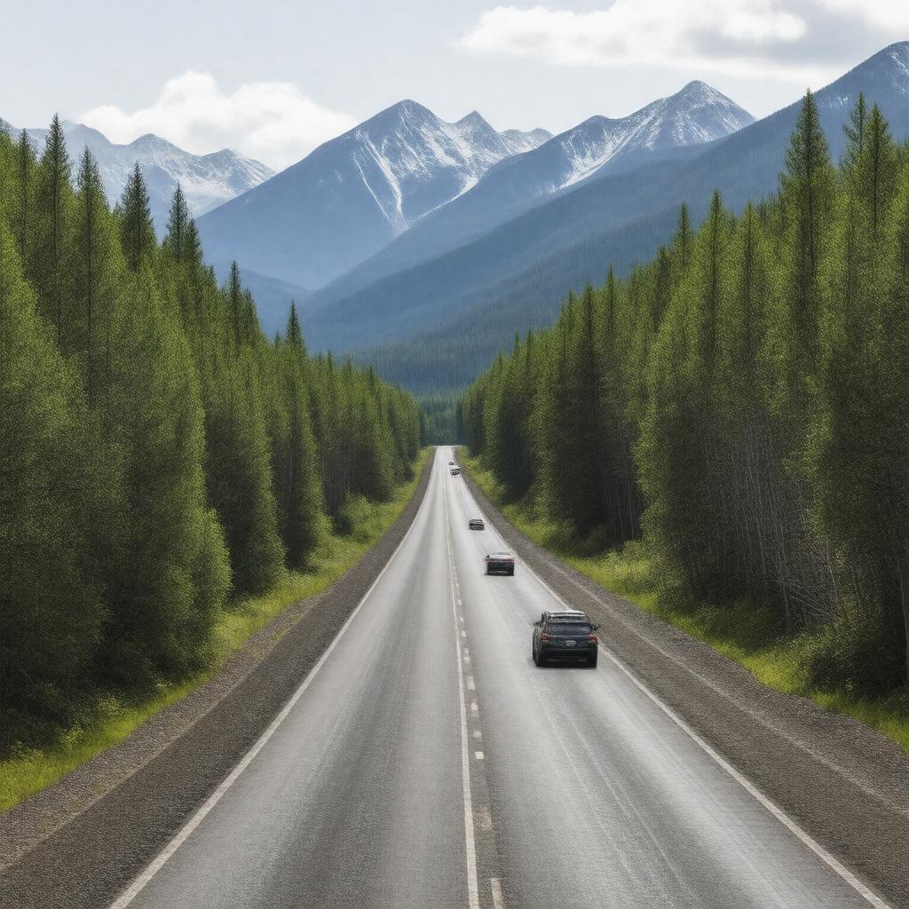
mountain views
|
gptkbp:historical_significance
|
Gold Rush era
|
https://www.w3.org/2000/01/rdf-schema#label
|
Klondike Highway
|
gptkbp:is_maintained_by
|
gptkb:Government_of_Yukon
|
gptkbp:length
|
approximately 700 kilometers
|
gptkbp:located_in
|
gptkb:Yukon
|
gptkbp:opened
|
gptkb:1978
|
gptkbp:part_of
|
gptkb:Klondike_Gold_Rush
|
gptkbp:passenger_traffic
|
Moderate
|
gptkbp:passes_through
|
gptkb:Braeburn
gptkb:Carcross
gptkb:Keno_City
gptkb:Mayo
Carmacks
Pelly Crossing
Stewart Crossing
|
gptkbp:popular_activities
|
fishing
hiking
camping
|
gptkbp:provides_access_to
|
gptkb:Tombstone_Territorial_Park
|
gptkbp:related_vehicle
|
Paved
|
gptkbp:safety
|
Wild animals
Road conditions
Weather hazards
|
gptkbp:scenic_views
|
gptkb:Yes
|
gptkbp:starts_at
|
gptkb:Whitehorse
|
gptkbp:tourist_attraction
|
Wildlife viewing
Historic sites
Natural landscapes
|
gptkbp:used_for
|
gptkb:transportation
gptkb:tourism
|
gptkbp:weather_conditions
|
Variable
|
gptkbp:bfsParent
|
gptkb:Whitehorse
|
gptkbp:bfsLayer
|
4
|