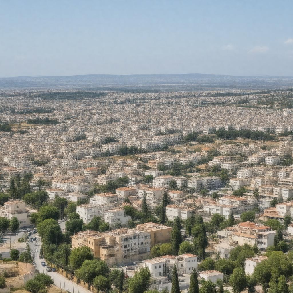
AI-created image
Statements (23)
| Predicate | Object |
|---|---|
| gptkbp:instanceOf |
gptkb:city
|
| gptkbp:area |
16.7 km²
|
| gptkbp:country |
gptkb:Israel
|
| gptkbp:district |
gptkb:Haifa_District
|
| gptkbp:founded |
1925
|
| gptkbp:latitude |
32.8000
|
| gptkbp:locatedIn |
gptkb:Haifa_metropolitan_area
|
| gptkbp:longitude |
35.1000
|
| gptkbp:mayor |
gptkb:Yaakov_Peretz
|
| gptkbp:notablePerson |
gptkb:Yehuda_Poliker
gptkb:Yona_Yahav |
| gptkbp:officialWebsite |
https://www.k-ata.muni.il/
|
| gptkbp:population |
approximately 60,000
|
| gptkbp:postalCode |
2820000
|
| gptkbp:previousName |
gptkb:Kfar_Ata
|
| gptkbp:region |
gptkb:Krayot
|
| gptkbp:timezone |
IST
|
| gptkbp:twinTown |
gptkb:Kiryat_Bialik
gptkb:Kiryat_Motzkin gptkb:Kiryat_Yam |
| gptkbp:bfsParent |
gptkb:Petah_Tikva
|
| gptkbp:bfsLayer |
4
|
| http://www.w3.org/2000/01/rdf-schema#label |
Kiryat Ata
|