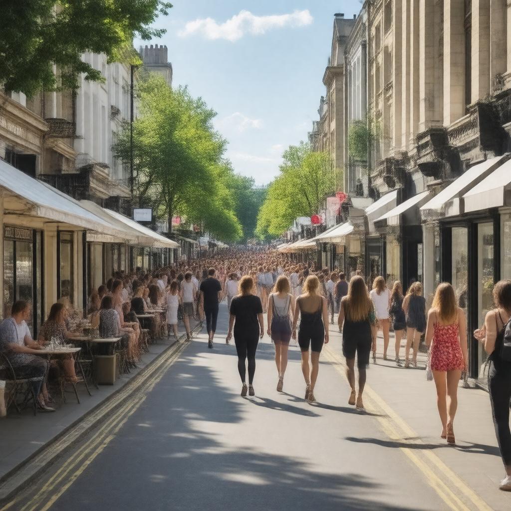
King's Road, Chelsea, London
GPTKB entity

AI-created image
Statements (23)
| Predicate | Object |
|---|---|
| gptkbp:instanceOf |
gptkb:street
|
| gptkbp:country |
gptkb:United_Kingdom
|
| gptkbp:historicalEvent |
center of Swinging London in the 1960s
punk fashion movement in the 1970s |
| gptkbp:historicalOperator |
gptkb:King_Charles_II
|
| gptkbp:knownFor |
gptkb:fashion
shopping 1960s cultural scene |
| gptkbp:length |
approximately 2 miles
|
| gptkbp:locatedIn |
gptkb:Chelsea,_London
gptkb:London gptkb:Royal_Borough_of_Kensington_and_Chelsea |
| gptkbp:notableLandmark |
gptkb:Saatchi_Gallery
gptkb:Chelsea_Old_Town_Hall gptkb:Bluebird_Restaurant |
| gptkbp:postalCode |
SW3
|
| gptkbp:publicTransit |
Sloane Square Underground Station
numerous London bus routes |
| gptkbp:terminus |
gptkb:Sloane_Square
gptkb:Waterford_Road,_Fulham |
| gptkbp:bfsParent |
gptkb:Chelsea_Fire_Station
|
| gptkbp:bfsLayer |
4
|
| http://www.w3.org/2000/01/rdf-schema#label |
King's Road, Chelsea, London
|