Prompt
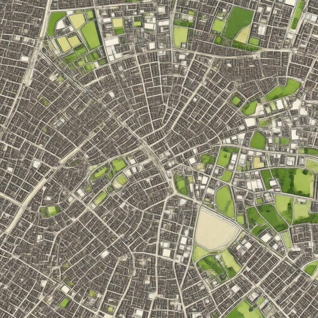
"Generate an image of a realistic map or aerial view of King's Hedges, a ward in Cambridge, England, showcasing its location in relation to surrounding neighborhoods such as Arbury and Chesterton, with notable landmarks and boundaries clearly visible, in a style reminiscent of a Geographic Information System (GIS) map or a high-resolution satellite image."

