Killara, New South Wales, Australia
GPTKB entity
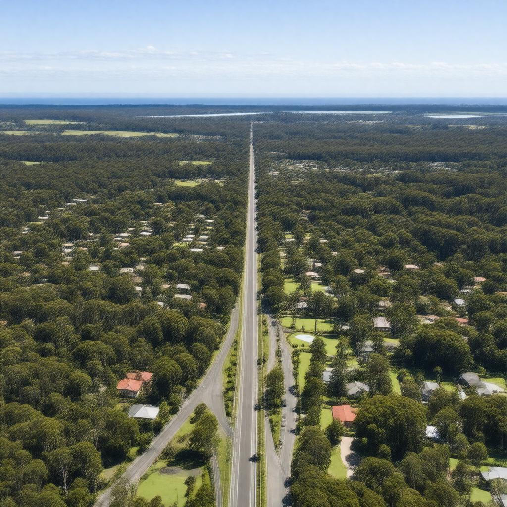
Statements (53)
Predicate | Object |
---|---|
gptkbp:instanceOf |
suburb
|
gptkbp:area |
2.5 square kilometers
|
gptkbp:averageRainfall |
approximately 1,200 mm
|
gptkbp:averageTemperature |
18°C
|
gptkbp:climate |
temperate oceanic climate
|
gptkbp:communityEngagement |
community center
|
gptkbp:communityEvents |
art exhibitions
cultural celebrations local festivals sports events markets |
gptkbp:cultural_heritage |
various heritage-listed sites
|
gptkbp:culturalSignificance |
local parks and reserves
|
gptkbp:demographics |
predominantly residential
|
gptkbp:education |
gptkb:Killara_Public_School
|
gptkbp:environment |
green spaces
walking trails native flora and fauna recreational areas biodiversity in local parks |
gptkbp:established |
19th century
|
gptkbp:features |
gptkb:Killara_High_School
gptkb:Killara_Golf_Club gptkb:Killara_Station |
gptkbp:governedBy |
Ku-ring-gai Council
|
gptkbp:historicalEvent |
development of residential areas in the 1920s
establishment of the railway station in 1890 growth_in_population_post-World_War_II |
gptkbp:historicalSignificance |
early 20th century architecture
|
https://www.w3.org/2000/01/rdf-schema#label |
Killara, New South Wales, Australia
|
gptkbp:localAttraction |
art galleries
libraries shopping centers local cafes |
gptkbp:localGovernment |
Ku-ring-gai
|
gptkbp:locatedIn |
gptkb:New_South_Wales
|
gptkbp:namedAfter |
an Aboriginal word meaning 'to stand' or 'to rest'.
|
gptkbp:notableFeature |
academics
athletes artists business leaders politicians |
gptkbp:partOf |
Ku-ring-gai Council
|
gptkbp:population |
approximately 8,000
|
gptkbp:postalCode |
2071
|
gptkbp:recreation |
local parks
|
gptkbp:surroundingArea |
Pymble
Gordon Lindfield Roseville |
gptkbp:transportation |
gptkb:North_Shore_railway_line
|
gptkbp:transportLinks |
bus services
train services |