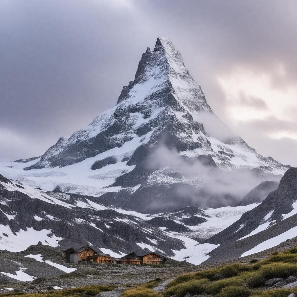
AI-created image
Statements (30)
| Predicate | Object |
|---|---|
| gptkbp:instanceOf |
gptkb:mountain
|
| gptkbp:climate |
subarctic
|
| gptkbp:elevation |
2096.8 m
|
| gptkbp:firstAscent |
gptkb:Charles_Rabot
1883 |
| gptkbp:hasGlacier |
yes
|
| gptkbp:hasMountainStation |
gptkb:Kebnekaise_fjällstation
|
| gptkbp:hasNorthPeak |
yes
|
| gptkbp:hasShrinkingGlacier |
yes
|
| gptkbp:hasSouthPeak |
yes
|
| gptkbp:highestPoint |
gptkb:Sweden
|
| gptkbp:latitude |
67.8997° N
|
| gptkbp:locatedIn |
gptkb:Sweden
gptkb:Lapland gptkb:Norrbotten_County |
| gptkbp:longitude |
18.5196° E
|
| gptkbp:mapType |
Sweden Norrbotten
|
| gptkbp:nameMeaning |
gptkb:Cauldron_Crest
|
| gptkbp:nameOrigin |
gptkb:Sami_language
|
| gptkbp:nearestCity |
gptkb:Kiruna
|
| gptkbp:northPeakElevation |
2096.8 m
|
| gptkbp:partOf |
gptkb:Scandinavian_Mountains
|
| gptkbp:photo |
Kebnekaise_summit.jpg
|
| gptkbp:popularFor |
hiking
mountaineering |
| gptkbp:prominence |
1765 m
|
| gptkbp:southPeakElevation |
variable (glacier-covered)
|
| gptkbp:bfsParent |
gptkb:Sweden
|
| gptkbp:bfsLayer |
4
|
| http://www.w3.org/2000/01/rdf-schema#label |
Kebnekaise
|