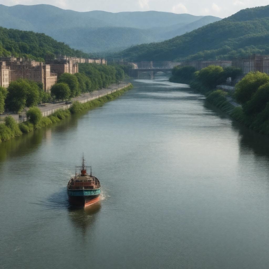
AI-created image
Statements (23)
| Predicate | Object |
|---|---|
| gptkbp:instanceOf |
gptkb:river
|
| gptkbp:basinSize |
12,200 square miles
|
| gptkbp:country |
gptkb:United_States
|
| gptkbp:flowsThrough |
gptkb:Charleston,_West_Virginia
|
| gptkbp:hasDam |
gptkb:London_Locks_and_Dam
gptkb:Marmet_Locks_and_Dam gptkb:Winfield_Locks_and_Dam |
| gptkbp:historicalSignificance |
important for transportation and industry
|
| gptkbp:length |
97 miles
|
| gptkbp:locatedIn |
gptkb:West_Virginia
|
| gptkbp:mainTributary |
gptkb:Coal_River
gptkb:Pocatalico_River gptkb:Elk_River |
| gptkbp:mapType |
03213000
|
| gptkbp:mouth |
gptkb:Ohio_River
|
| gptkbp:mouthLocation |
gptkb:Point_Pleasant,_West_Virginia
|
| gptkbp:namedAfter |
gptkb:Kanawha_(Native_American_tribe)
|
| gptkbp:navigable |
yes
|
| gptkbp:source |
confluence of New River and Gauley River
|
| gptkbp:tributaryOf |
gptkb:Ohio_River
|
| gptkbp:bfsParent |
gptkb:West_Virginia
|
| gptkbp:bfsLayer |
4
|
| http://www.w3.org/2000/01/rdf-schema#label |
Kanawha River
|