gptkbp:instance_of
|
gptkb:town
|
gptkbp:administrative_division
|
gptkb:neighborhood
|
gptkbp:area
|
approximately 5.5 square kilometers
|
gptkbp:climate
|
temperate
subtropical highland
|
gptkbp:cultural_significance
|
gptkb:traditional_crafts
local festivals
pilgrimage hub
|
gptkbp:demographics
|
predominantly Hindu
|
gptkbp:economic_activity
|
gptkb:tourism
agriculture
handicrafts
|
gptkbp:elevation
|
1890 meters
|
gptkbp:established
|
ancient times
|
gptkbp:famous_for
|
gptkb:cultural_heritage
gptkb:wildlife
gptkb:festivals
natural beauty
local cuisine
local traditions
scenic views
winter sports
spiritual significance
adventure sports
trekking routes
|
gptkbp:governance
|
gptkb:City_Council
|
gptkbp:has_airport
|
gptkb:Dehradun_Airport
|
gptkbp:historical_significance
|
gateway to Badrinath
gateway to Hemkund Sahib
|
https://www.w3.org/2000/01/rdf-schema#label
|
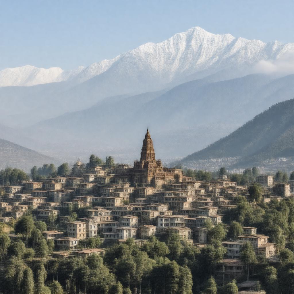
Joshimath
|
gptkbp:known_for
|
gptkb:Auli_ski_resort
Himalayan pilgrimage site
|
gptkbp:landscape
|
gptkb:Nanda_Devi
gptkb:Dronagiri
gptkb:Kamet
Trishul
|
gptkbp:language
|
Hindi
Garhwali
|
gptkbp:located_in
|
gptkb:India
gptkb:Uttarakhand
|
gptkbp:major_rivers
|
Dhauli Ganga
|
gptkbp:nearest_city
|
gptkb:Chamoli
|
gptkbp:part_of
|
gptkb:Chamoli_district
|
gptkbp:population
|
approximately 25,000
|
gptkbp:postal_code
|
246443
|
gptkbp:railway_line
|
gptkb:Rishikesh_Railway_Station
|
gptkbp:time_zone
|
IST
|
gptkbp:tourist_attraction
|
gptkb:Narsingh_Temple
gptkb:Tapovan
gptkb:Shankaracharya_Math
Auli
|
gptkbp:transportation
|
gptkb:National_Highway_58
|
gptkbp:bfsParent
|
gptkb:Badrinath
gptkb:Kalimath,_Uttarakhand,_India
|
gptkbp:bfsLayer
|
4
|