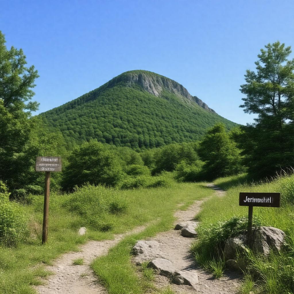
AI-created image
Statements (16)
| Predicate | Object |
|---|---|
| gptkbp:instanceOf |
gptkb:mountain
|
| gptkbp:elevation |
247 meters
812 feet |
| gptkbp:highestPoint |
gptkb:Rhode_Island
|
| gptkbp:latitude |
41.8494° N
|
| gptkbp:locatedIn |
gptkb:Rhode_Island
gptkb:United_States gptkb:Foster,_Rhode_Island |
| gptkbp:longitude |
71.7789° W
|
| gptkbp:mapType |
gptkb:USGS_Killingly
|
| gptkbp:openToPublic |
yes
|
| gptkbp:ownedBy |
Brown University (historically)
|
| gptkbp:prominence |
812 feet
|
| gptkbp:bfsParent |
gptkb:Rhode_Island
|
| gptkbp:bfsLayer |
4
|
| http://www.w3.org/2000/01/rdf-schema#label |
Jerimoth Hill
|