Prompt
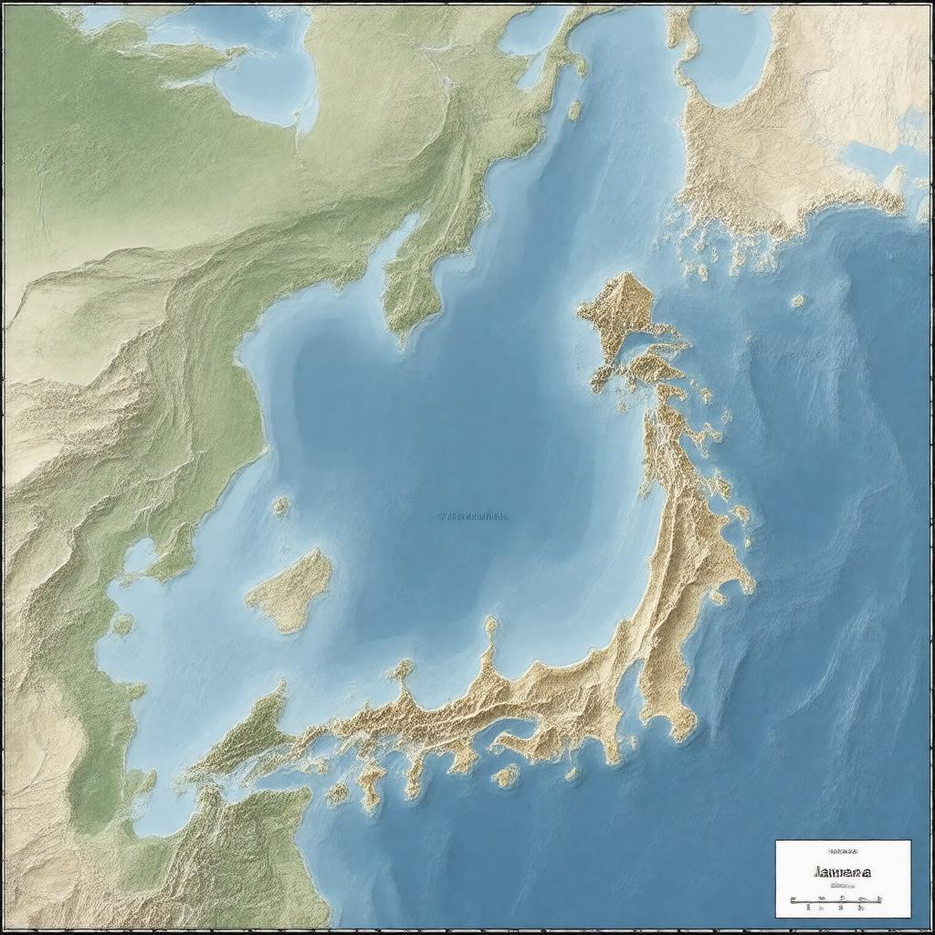
"Generate an image of a map of the Japanese Exclusive Economic Zone (EEZ), showcasing its vast area of approximately 4,470,000 square kilometers, including the Sea of Japan, East China Sea, Philippine Sea, Pacific Ocean, and Sea of Okhotsk. The map should highlight the EEZ's boundaries, disputed territories, and notable geographical features such as Okinotorishima, Minami-Tori-shima, Ryukyu Islands, Bonin Islands, Izu Islands, Daitō Islands, Senkaku Islands, and Kuril Islands. The style should be a realistic, high-resolution, and detailed geographical representation, suitable for an atlas or a geographical database."

