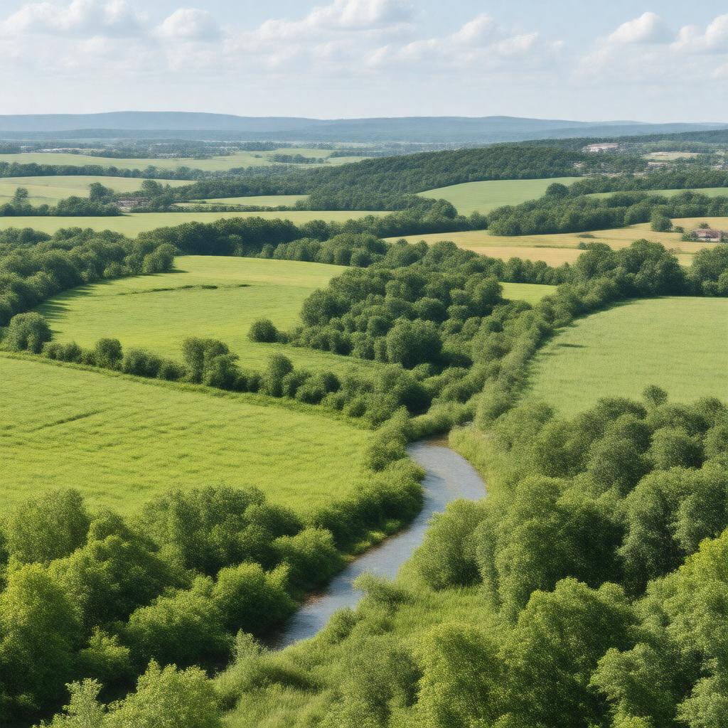
gptkbp:instanceOf
|
gptkb:county
|
gptkbp:areaTotalKm2
|
513
|
gptkbp:borderedBy
|
gptkb:Lawrence_County,_Indiana
gptkb:Monroe_County,_Indiana
gptkb:Washington_County,_Indiana
gptkb:Bartholomew_County,_Indiana
gptkb:Brown_County,_Indiana
gptkb:Jennings_County,_Indiana
gptkb:Scott_County,_Indiana
|
gptkbp:congressionalDistrict
|
9th
|
gptkbp:containsCommunity
|
gptkb:Freetown
gptkb:Tampico
gptkb:Kurtz
gptkb:Waymansville
Norman
|
gptkbp:countySeat
|
gptkb:Brownstown
|
gptkbp:established
|
1816
|
gptkbp:FIPS_code
|
18-071
|
gptkbp:GNIS_feature_ID
|
0453172
|
gptkbp:hasAirport
|
gptkb:Seymour_Municipal_Airport
|
gptkbp:hasCity
|
gptkb:Seymour
|
gptkbp:hasPark
|
gptkb:Jackson-Washington_State_Forest
gptkb:Starve_Hollow_State_Recreation_Area
|
gptkbp:hasRailwayStation
|
gptkb:CSX_Transportation
gptkb:Louisville_and_Indiana_Railroad
|
gptkbp:hasRiver
|
gptkb:East_Fork_White_River
gptkb:Muscatatuck_River
|
gptkbp:hasTown
|
gptkb:Brownstown
gptkb:Crothersville
gptkb:Medora
gptkb:Vallonia
|
https://www.w3.org/2000/01/rdf-schema#label
|
Jackson County, Indiana
|
gptkbp:largestCity
|
gptkb:Seymour
|
gptkbp:locatedIn
|
gptkb:Indiana
gptkb:United_States
|
gptkbp:majorHighway
|
gptkb:U.S._Route_50
gptkb:Interstate_65
gptkb:State_Road_11
gptkb:State_Road_135
gptkb:State_Road_250
gptkb:State_Road_258
gptkb:State_Road_39
gptkb:State_Road_58
gptkb:U.S._Route_31
|
gptkbp:namedAfter
|
gptkb:Andrew_Jackson
|
gptkbp:population
|
46128
|
gptkbp:populationAsOf
|
2020
|
gptkbp:timezone
|
Eastern
|
gptkbp:website
|
https://www.jacksoncounty.in.gov/
|
gptkbp:bfsParent
|
gptkb:Lawrence_County,_Indiana
|
gptkbp:bfsLayer
|
5
|