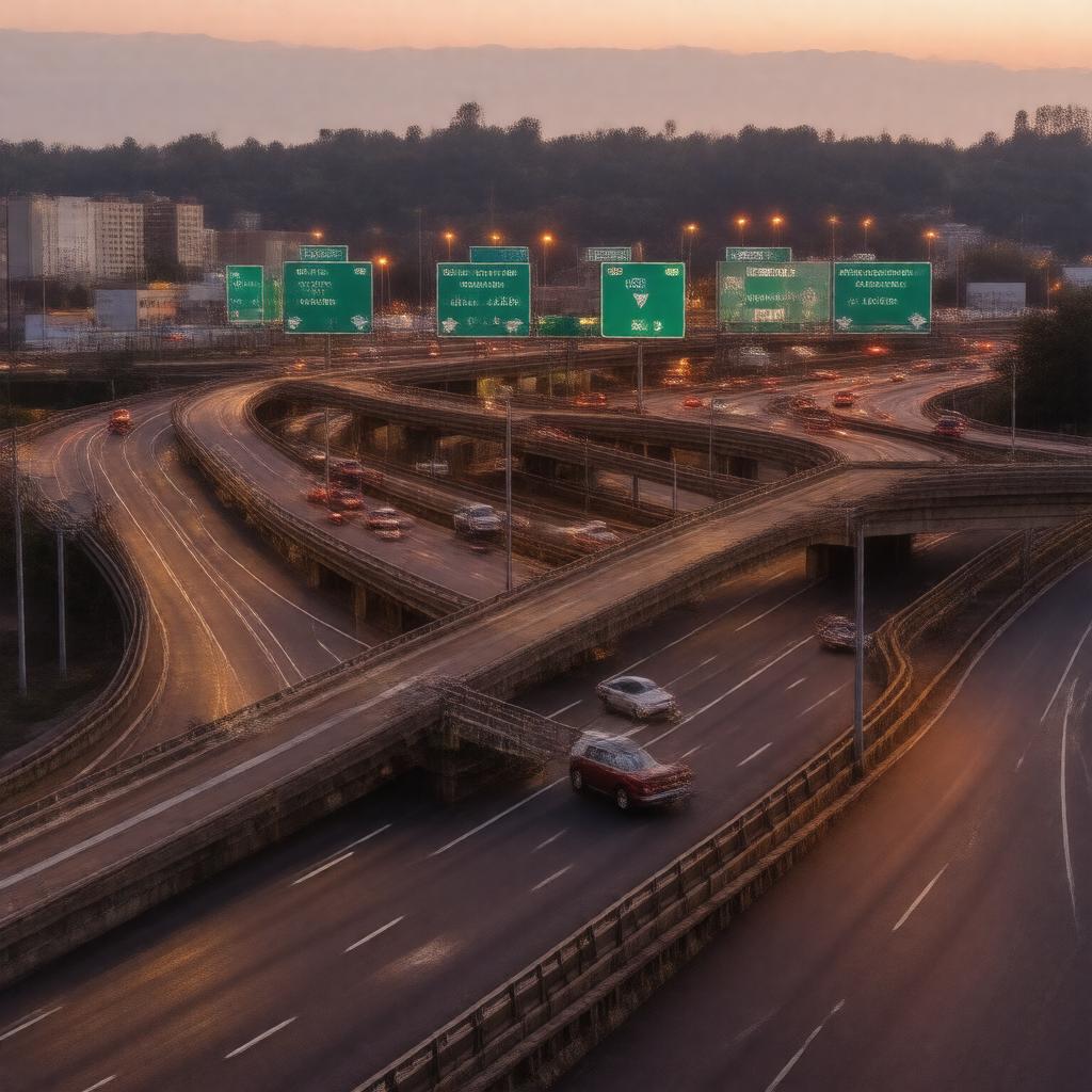
gptkbp:instanceOf
|
Highway
|
gptkbp:access
|
multiple entry and exit points
|
gptkbp:annualRidership
|
high
|
gptkbp:built
|
expanded in 2000s
completed in 1990
|
gptkbp:climate
|
affected by snow and ice
|
gptkbp:community_impact
|
connects neighborhoods
|
gptkbp:connects
|
gptkb:Interstate_71
Interstate 70
|
gptkbp:constructionMaterial
|
asphalt
|
gptkbp:designatedAs
|
I-670
|
gptkbp:drivetrain
|
available
|
gptkbp:emergencyServices
|
available
accessible
quick
|
gptkbp:environmental_impact
|
urban development
|
gptkbp:features
|
urban freeway
|
gptkbp:fledgingPeriod
|
multiple interchanges
|
gptkbp:future_plans
|
expansion considered
|
gptkbp:hasCharacter
|
several overpasses
|
gptkbp:historical_significance
|
part of the interstate system
|
https://www.w3.org/2000/01/rdf-schema#label
|
Interstate 670
|
gptkbp:interchanges
|
major_interchanges_with_I-70_and_I-71
|
gptkbp:is_part_of
|
gptkb:National_Highway_System
|
gptkbp:length
|
approximately 10 miles
|
gptkbp:localGovernment
|
involved in planning
|
gptkbp:location
|
gptkb:United_States
|
gptkbp:maintainedBy
|
gptkb:Ohio_Department_of_Transportation
|
gptkbp:maximum_speed
|
55 mph
|
gptkbp:nearby_attractions
|
nearby parks
|
gptkbp:opened
|
1990
|
gptkbp:passenger_traffic
|
high volume
installed
managed by local authorities
managed lanes
none on main route
|
gptkbp:performances
|
70 mph
|
gptkbp:project
|
ongoing improvements
|
gptkbp:public_perception
|
safety campaigns conducted
|
gptkbp:public_transport_access
|
limited access
|
gptkbp:region
|
important for commerce
|
gptkbp:route
|
gptkb:U.S._Route_40
gptkb:Interstate_671
|
gptkbp:safetyFeatures
|
monitored
average
|
gptkbp:scenicViews
|
limited due to urban setting
|
gptkbp:servedIn
|
gptkb:Dublin
gptkb:Columbus
Gahanna
|
gptkbp:signage
|
green signs
|
gptkbp:structureType
|
limited-access road
|
gptkbp:toll
|
no tolls
|
gptkbp:tour
|
regular inspections
|
gptkbp:vehicleClass
|
informational signs present
freeway
standard lane markings
|