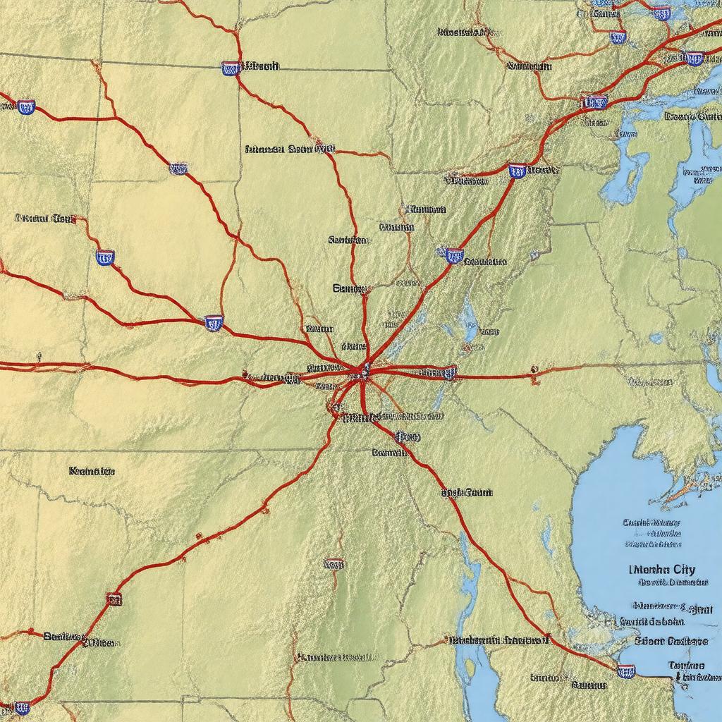
Interstate 29

GPTKB entity

Statements (58)
Predicate Object
gptkbp:instance_of gptkb:state_highway
gptkbp:connects gptkb:Mexico
gptkb:Native_American_tribe
gptkbp:constructed_in gptkb:1956
gptkbp:cultural_significance Tourism route
Historical landmarks along the route
Route for events and parades
gptkbp:designated_as I-29
gptkbp:ends_at gptkb:Pembina,_North_Dakota
gptkbp:environmental_impact Pollution control measures
Wildlife crossings
Noise barriers
gptkbp:features gptkb:bridge
Rest areas
Overpasses
Service plazas
gptkbp:future_plans Expansion projects
Increased capacity
Smart highway technology
Improvement of interchanges
gptkbp:has_intersections_with gptkb:Interstate_70
gptkb:Interstate_80
gptkb:Interstate_90
gptkb:Interstate_94
gptkbp:historical_significance Part of the Eisenhower Interstate System
https://www.w3.org/2000/01/rdf-schema#label Interstate 29
gptkbp:is_maintained_by gptkb:Missouri_Department_of_Transportation
gptkb:Iowa_Department_of_Transportation
gptkb:South_Dakota_Department_of_Transportation
gptkb:North_Dakota_Department_of_Transportation
gptkbp:length 1,060 miles
gptkbp:location gptkb:United_States
gptkbp:major_city gptkb:Grand_Forks,_North_Dakota
gptkb:Fargo,_North_Dakota
gptkb:Sioux_City,_Iowa
gptkbp:major_highway National Highway System
gptkbp:opened gptkb:1960
gptkbp:part_of gptkb:state_highway
gptkb:U._S._Route_81
gptkbp:safety_features Lighting in urban areas
Signage for navigation
Road maintenance crews
Emergency pull-offs
gptkbp:scenic_views gptkb:Lewis_and_Clark_Trail
gptkbp:seating_capacity varies by segment
High in urban areas
Moderate in rural areas
gptkbp:serves gptkb:Missouri
gptkb:North_Dakota
gptkb:South_Dakota
gptkb:Iowa
gptkbp:starts_at gptkb:Kansas_City,_Missouri
gptkbp:transportation gptkb:battle
gptkbp:upgrades Ongoing
gptkbp:weather_conditions Affected by winter storms
gptkbp:bfsParent gptkb:Fargo
gptkb:state_highway
gptkbp:bfsLayer 3