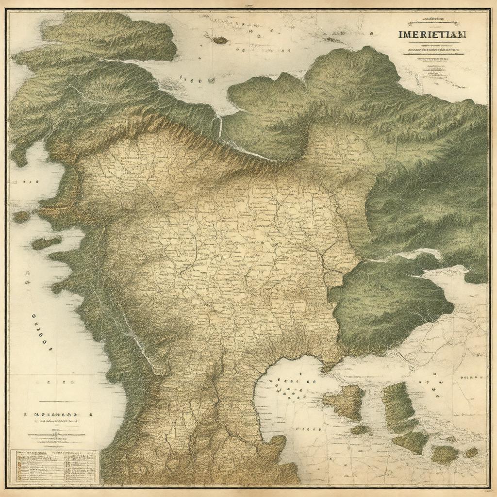
Prompt
"Generate an image of a 19th-century map of the Imeretian Governorate, which was a province of the Russian Empire located in the Caucasus region, with its capital in Kutaisi, during the mid-1800s, showcasing its geographical features and administrative divisions, in a realistic and detailed style."

