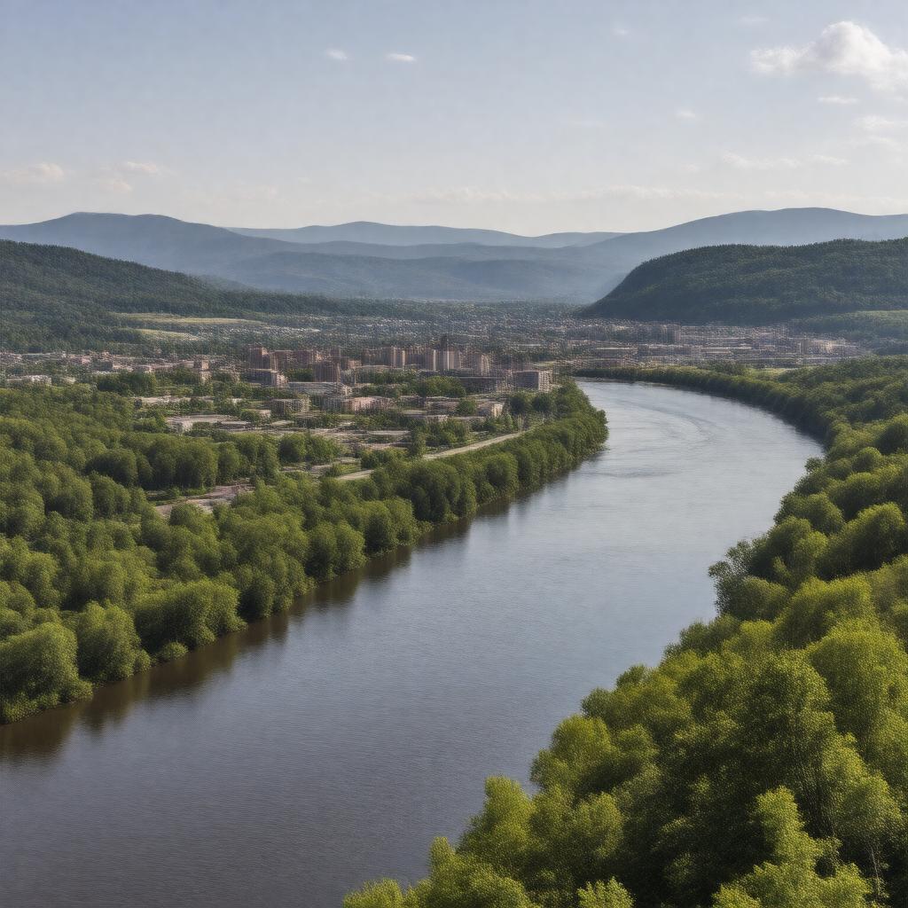
gptkbp:instance_of
|
gptkb:urban_area
|
gptkbp:area
|
3,200 square miles
|
gptkbp:climate
|
humid subtropical
|
gptkbp:contains
|
gptkb:Wayne_County
gptkb:Lawrence_County
gptkb:Scioto_County
gptkb:Greenup_County
Cabell County
|
gptkbp:cultural_attraction
|
gptkb:Heritage_Farm_Museum_and_Village
gptkb:Paramount_Arts_Center
gptkb:Ashland_Riverfront_Park
Huntington Museum of Art
Ritter Park
|
gptkbp:demographics
|
diverse population
|
gptkbp:economy
|
gptkb:education
healthcare
manufacturing
retail
|
gptkbp:education_institution
|
gptkb:Marshall_University
gptkb:Ashland_Community_and_Technical_College
|
gptkbp:established
|
gptkb:2000
|
gptkbp:events
|
gptkb:Ashland_Christmas_Parade
gptkb:Huntington_Tri-State_Pride_Festival
gptkb:Ashland_Bluegrass_Festival
gptkb:West_Virginia_Hot_Dog_Festival
Huntington Music and Arts Festival
|
gptkbp:geography
|
gptkb:Appalachian_Mountains
gptkb:Ohio_River
river valleys
|
gptkbp:government
|
mayor-council system
regional planning commission
joint city-county government
|
gptkbp:has_airport
|
gptkb:Tri-State_Airport
|
https://www.w3.org/2000/01/rdf-schema#label
|
Huntington-Ashland metropolitan area
|
gptkbp:located_in
|
gptkb:Kentucky
gptkb:Ohio
gptkb:West_Virginia
|
gptkbp:major_city
|
gptkb:Huntington
gptkb:Ashland
|
gptkbp:major_highway
|
gptkb:Interstate_64
gptkb:Interstate_75
gptkb:U._S._Route_29
|
gptkbp:population
|
365,000
|
gptkbp:sports_team
|
gptkb:Ashland_Tomcats
Huntington Hammer
|
gptkbp:time_zone
|
Eastern Time Zone
|
gptkbp:transportation
|
gptkb:public_transportation
gptkb:bus_services
rail services
|
gptkbp:bfsParent
|
gptkb:Big_Sandy_River
gptkb:Tri-State_Airport
gptkb:Barboursville
|
gptkbp:bfsLayer
|
6
|