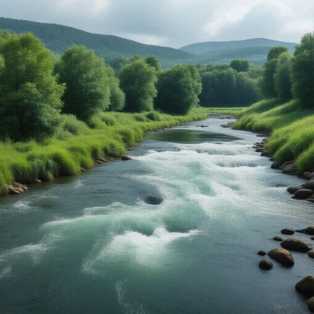
gptkbp:instanceOf
|
gptkb:river
|
gptkbp:alternativeName
|
gptkb:Hoosac_River
gptkb:Hoosick_River
|
gptkbp:basinSize
|
720 square miles
|
gptkbp:country
|
gptkb:United_States
|
gptkbp:flowsThrough
|
gptkb:North_Adams,_Massachusetts
gptkb:Williamstown,_Massachusetts
gptkb:Hoosick_Falls,_New_York
gptkb:Pownal,_Vermont
gptkb:Schaghticoke,_New_York
|
gptkbp:hasTributary
|
gptkb:Green_River
gptkb:Little_Hoosic_River
gptkb:Tomhannock_Creek
gptkb:Walloomsac_River
|
https://www.w3.org/2000/01/rdf-schema#label
|
Hoosic River
|
gptkbp:length
|
approximately 76 miles
|
gptkbp:locatedIn
|
gptkb:Massachusetts
gptkb:New_York
gptkb:United_States
gptkb:Vermont
|
gptkbp:mouthLocation
|
Hudson River near Schaghticoke, New York
|
gptkbp:region
|
gptkb:New_England
gptkb:Upstate_New_York
|
gptkbp:sourceLocation
|
near North Adams, Massachusetts
|
gptkbp:tributaryOf
|
gptkb:Hudson_River
|
gptkbp:bfsParent
|
gptkb:The_Berkshires
gptkb:Williamstown
|
gptkbp:bfsLayer
|
5
|