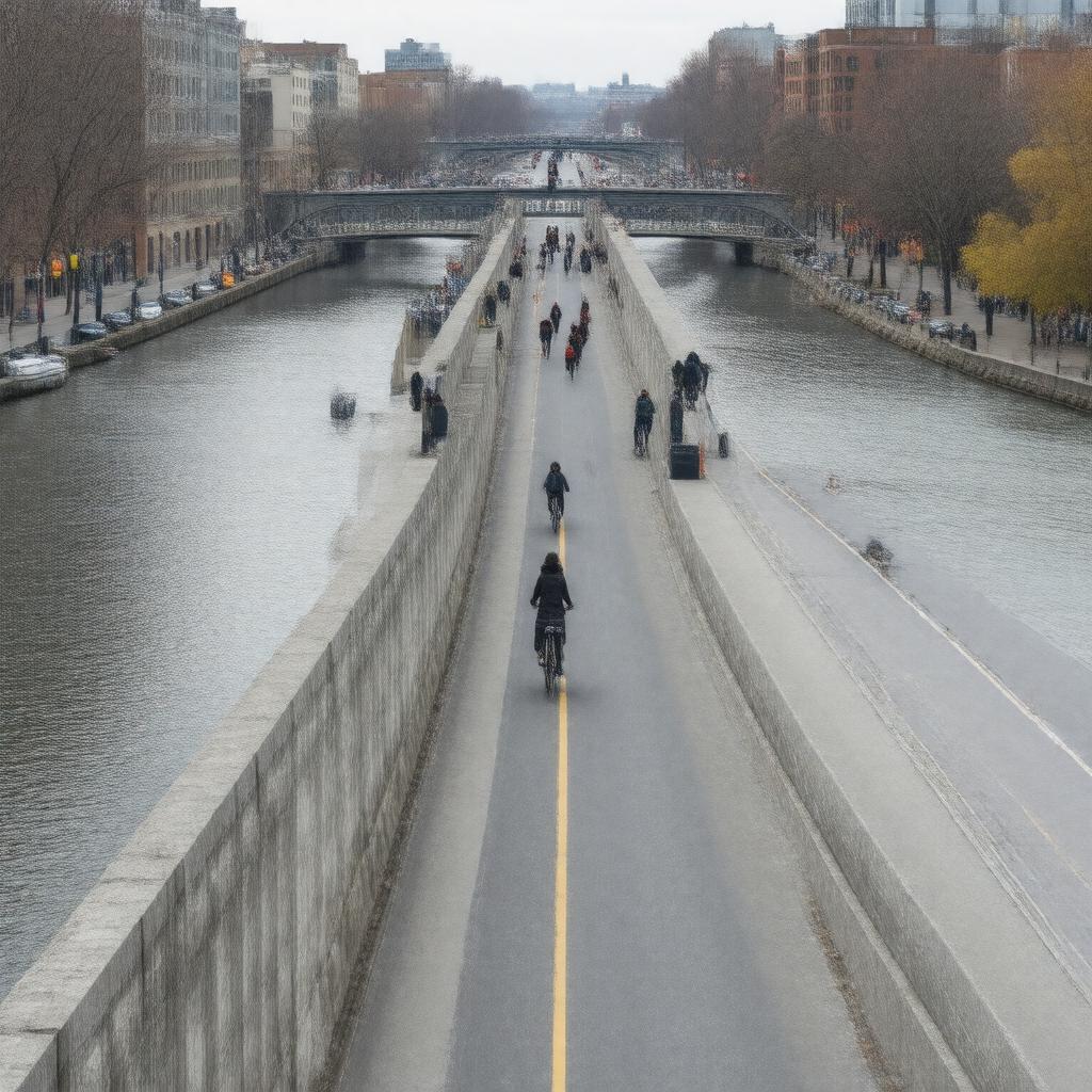
gptkbp:instance_of
|
gptkb:bridge
|
gptkbp:academic_programs
|
Beaux-Arts style
|
gptkbp:accessibility
|
ADA compliant
|
gptkbp:architect
|
gptkb:H._H._Richardson
gptkb:William_M._Kendall
|
gptkbp:art_installations
|
features public art installations
|
gptkbp:associated_with
|
gptkb:Harvard_University
gptkb:MIT
|
gptkbp:climate_impact
|
affected by winter weather conditions
|
gptkbp:community
|
popular for jogging and walking
|
gptkbp:community_engagement
|
involvement in local events
|
gptkbp:connects
|
Boston and Cambridge
Cambridge and Watertown
|
gptkbp:construction_cost
|
$1.5 million
|
gptkbp:construction_material
|
gptkb:steel
|
gptkbp:construction_started
|
1887
1892
|
gptkbp:coordinates
|
42.3731° N, 71.1160° W
42.373611, -71.126389
|
gptkbp:crosses
|
gptkb:Charles_River
|
gptkbp:cultural_significance
|
featured in various media
|
gptkbp:design
|
cantilever
|
gptkbp:enforces
|
occasional accidents reported
|
gptkbp:environmental_impact
|
impact on local wildlife
|
gptkbp:events
|
site for local events
|
gptkbp:famous_landmark
|
yes
listed on National Register of Historic Places
|
gptkbp:features
|
bike lanes
sidewalks
|
gptkbp:future_plans
|
upgrades planned for the future
|
gptkbp:has_public_transport
|
yes
dedicated pedestrian walkway
served by MBTA buses
|
gptkbp:has_view_of
|
gptkb:Boston_skyline
Cambridge skyline
|
gptkbp:historical_significance
|
gptkb:National_Register_of_Historic_Places
important transportation link
|
gptkbp:historical_tours
|
guided tours available
|
https://www.w3.org/2000/01/rdf-schema#label
|
Harvard Bridge
|
gptkbp:is_known_for
|
engineering design
scenic views
|
gptkbp:is_located_near
|
gptkb:Harvard_University
gptkb:MIT
|
gptkbp:is_maintained_by
|
gptkb:Massachusetts_Department_of_Transportation
|
gptkbp:is_open_to
|
gptkb:Public
|
gptkbp:is_part_of
|
Greater Boston area
|
gptkbp:is_used_for
|
gptkb:recreation
commuting
|
gptkbp:landmark
|
designated landmark
|
gptkbp:length
|
1,800 feet
2,640 feet
|
gptkbp:lighting
|
decorative lighting installed
|
gptkbp:local_legends
|
associated with local folklore
|
gptkbp:location
|
gptkb:Cambridge,_Massachusetts
gptkb:Watertown,_Massachusetts
|
gptkbp:maintenance
|
gptkb:Massachusetts_Department_of_Transportation
regular inspections and repairs
|
gptkbp:named_after
|
gptkb:Harvard_University
|
gptkbp:notable_event
|
gptkb:Boston_Marathon_crossing
|
gptkbp:opened
|
1891
1892
|
gptkbp:parking
|
yes
|
gptkbp:part_of
|
gptkb:Massachusetts_Route_2_A
|
gptkbp:passenger_traffic
|
vehicular traffic
vehicular and pedestrian
approximately 20,000 vehicles per day
traffic signals present
|
gptkbp:photography
|
popular for sunset photography
|
gptkbp:renovated
|
gptkb:2000
|
gptkbp:renovation
|
multiple renovations since opening
|
gptkbp:safety_features
|
safety barriers installed
|
gptkbp:serves
|
local traffic
regional traffic
|
gptkbp:surrounding_area
|
near Harvard University
|
gptkbp:tour
|
available for school groups
|
gptkbp:type
|
pedestrian and vehicular bridge
|
gptkbp:used_in
|
gptkb:films
gptkb:artworks
gptkb:photography
|
gptkbp:uses
|
motor vehicles
bicycles
pedestrians
|
gptkbp:view
|
gptkb:Harvard_University
MIT campus
popular spot for photography
scenic views of the Charles River
|
gptkbp:was_closed_for_renovation_in
|
gptkb:2000
|
gptkbp:bfsParent
|
gptkb:Charles_River
gptkb:The_Charles_River
|
gptkbp:bfsLayer
|
5
|