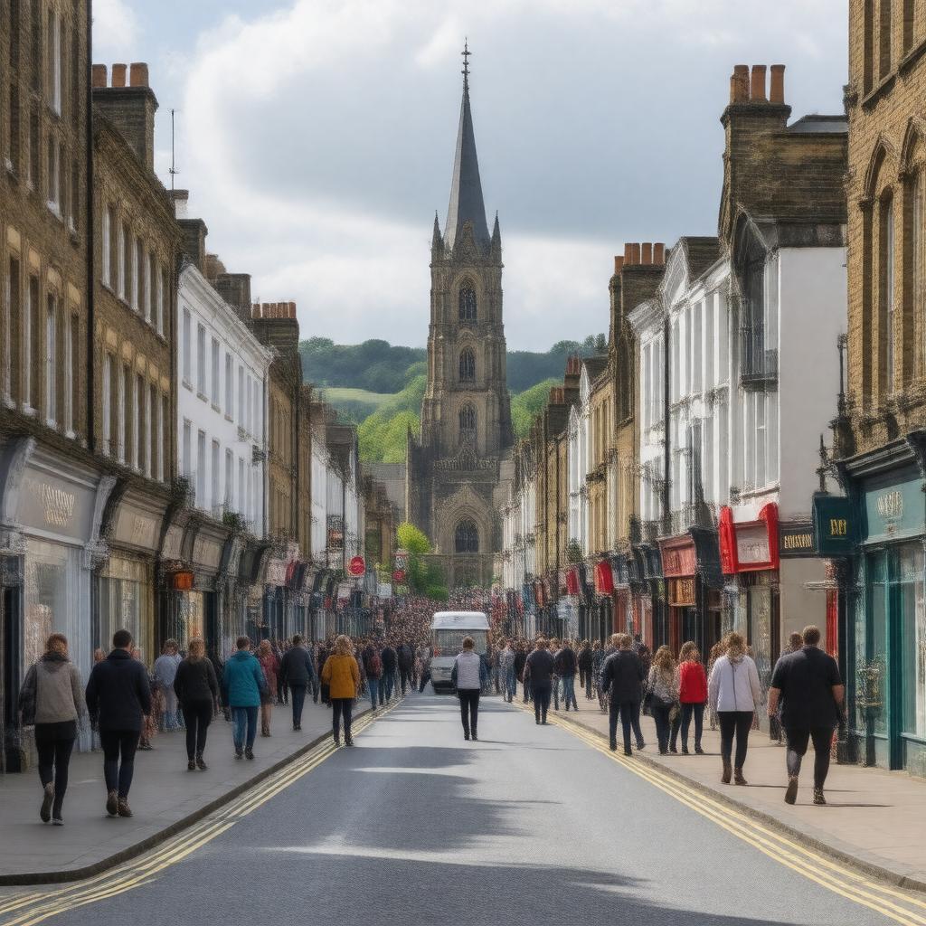
Harrow, London, England

GPTKB entity
AI-created image of Harrow, London, England
AI-created image

Statements (53)
Predicate Object
gptkbp:instanceOf gptkb:district
gptkbp:area 50.47 km²
gptkbp:areaCode HA
gptkbp:country gptkb:United_Kingdom
gptkbp:dialCode 020
gptkbp:ethnicGroup high
gptkbp:famousFor gptkb:Harrow_School
gptkbp:famousLandmark gptkb:Harrow_School_Chapel
Harrow Arts Centre
St Mary's Church, Harrow on the Hill
gptkbp:hasHospital gptkb:Northwick_Park_Hospital
gptkb:St_Mark's_Hospital
gptkbp:hasLibrary gptkb:Harrow_Central_Library
gptkb:North_Harrow_Library
gptkb:Roxeth_Library
gptkb:Wealdstone_Library
gptkbp:hasMuseum gptkb:Headstone_Manor_&_Museum
gptkbp:hasPark gptkb:Harrow_Recreation_Ground
gptkb:Roxeth_Recreation_Ground
gptkb:West_Harrow_Recreation_Ground
gptkbp:hasRailwayStation gptkb:Harrow-on-the-Hill_station
gptkb:Harrow_&_Wealdstone_station
gptkb:North_Harrow_station
gptkb:South_Harrow_station
gptkb:West_Harrow_station
gptkbp:hasShoppingCentre gptkb:St_Anns_Shopping_Centre
gptkb:St_George's_Shopping_Centre
gptkbp:hasTubeStation gptkb:Harrow-on-the-Hill
gptkb:Harrow_&_Wealdstone
North Harrow
South Harrow
West Harrow
https://www.w3.org/2000/01/rdf-schema#label Harrow, London, England
gptkbp:locatedIn gptkb:England
gptkb:London
gptkbp:notableInstitution gptkb:Harrow_School
gptkb:Hatch_End_High_School
gptkb:Nower_Hill_High_School
gptkb:Sacred_Heart_Language_College
gptkb:Salvatorian_College
gptkb:St_Dominic's_Sixth_Form_College
gptkb:Whitmore_High_School
gptkbp:notableResident gptkb:Sir_Winston_Churchill
gptkbp:parliamentaryConstituency Harrow East
Harrow West
gptkbp:partOf gptkb:London_Borough_of_Harrow
gptkbp:population 149246
gptkbp:region gptkb:Greater_London
gptkbp:twinTown gptkb:Douai,_France
gptkb:Harrow,_Ontario,_Canada
gptkb:Varaždin,_Croatia
gptkbp:bfsParent gptkb:John_Nelder
gptkbp:bfsLayer 4