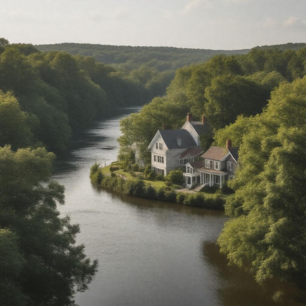
Properties (24)
Predicate | Object |
---|---|
gptkbp:instanceOf |
Town
|
gptkbp:borders |
gptkb:West_Newbury
gptkb:Merrimac gptkb:Boxford Haverhill |
gptkbp:hasArea |
approximately 10.5 square miles
|
gptkbp:hasDepartment |
gptkb:Groveland_Police_Department
gptkb:Groveland_Fire_Department |
gptkbp:hasHistoricalSignificance |
gptkb:Groveland's_Historic_District
|
gptkbp:hasLibrary |
gptkb:Groveland_Public_Library
|
gptkbp:hasParking |
Cedarvale Park
Baker's_Meadow |
gptkbp:hasPopulation |
approximately 8,000
|
gptkbp:hasSchool |
gptkb:Groveland_Public_Schools
|
gptkbp:hosts |
Annual_Groveland_Day
|
https://www.w3.org/2000/01/rdf-schema#label |
Groveland, Massachusetts
|
gptkbp:isHomeTo |
gptkb:Groveland_Town_Hall
|
gptkbp:isIncorporatedIn |
1850
|
gptkbp:isKnownFor |
Rural_Community
|
gptkbp:isLocatedIn |
gptkb:Essex_County
|
gptkbp:isPartOf |
gptkb:Greater_Boston
Merrimack_Valley |
gptkbp:isServedBy |
gptkb:Route_97
gptkb:Route_113 |