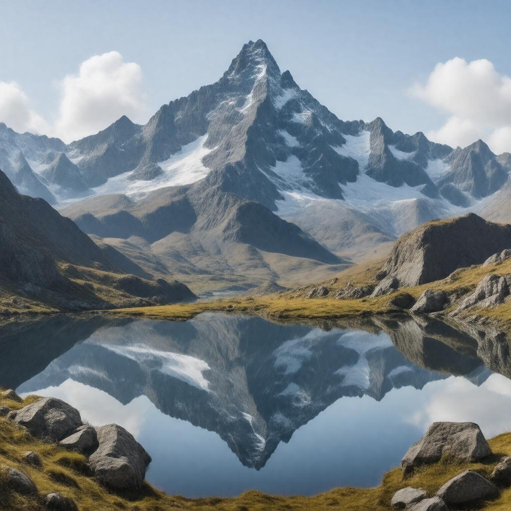
gptkbp:instance_of
|
gptkb:mountain_range
|
gptkbp:accessibility
|
gptkb:West_Highland_Way
gptkb:A9_road
A82 road
|
gptkbp:climate
|
temperate maritime
|
gptkbp:conservation
|
gptkb:Cairngorms_National_Park
|
gptkbp:cultural_significance
|
gptkb:folklore
|
gptkbp:elevation
|
1,345 m
|
gptkbp:fauna
|
gptkb:golden_eagle
red deer
|
gptkbp:first_ascent
|
gptkb:19th_century
|
gptkbp:flora
|
heather
|
gptkbp:geographical_feature
|
gptkb:river
glaciers
valleys
lochs
|
gptkbp:geological_features
|
Paleozoic era
|
gptkbp:geological_formation
|
gptkb:granite
|
gptkbp:highest_point
|
gptkb:Ben_Nevis
|
gptkbp:historical_significance
|
battlefields of the Jacobite risings
|
https://www.w3.org/2000/01/rdf-schema#label
|
Grampian Mountains
|
gptkbp:land_use
|
gptkb:tourism
gptkb:recreation
agriculture
conservation
forestry
|
gptkbp:length
|
approximately 150 km
|
gptkbp:located_in
|
gptkb:Scotland
|
gptkbp:notable_city
|
gptkb:Fort_William
gptkb:Braemar
gptkb:Ballater
gptkb:Pitlochry
gptkb:Aberfeldy
|
gptkbp:part_of
|
gptkb:Scottish_Highlands
|
gptkbp:popular_activities
|
hiking
climbing
|
gptkbp:surrounding_area
|
gptkb:Cairngorms_National_Park
|
gptkbp:surrounding_peaks
|
gptkb:Cairn_Gorm
gptkb:Braeriach
gptkb:Ben_Nevis
gptkb:Cairn_Toul
gptkb:Beinn_a'_Bhuird
gptkb:Carn_a'_Mhaim
gptkb:Mullach_Clach_a'_Bhlair
gptkb:Sgor_an_Lochain_Uaine
gptkb:Ben_Macdui
Cairnwell
|
gptkbp:tourist_attraction
|
gptkb:Cairngorm_Mountain_Railway
gptkb:Glenshee_Ski_Centre
gptkb:Loch_Ness
gptkb:Ben_Macdui
|
gptkbp:width
|
approximately 50 km
|
gptkbp:bfsParent
|
gptkb:Moray_Firth
gptkb:Ben_Nevis
gptkb:Ben_Cruachan
gptkb:The_Cairngorms
gptkb:Speyside
|
gptkbp:bfsLayer
|
5
|