Prompt
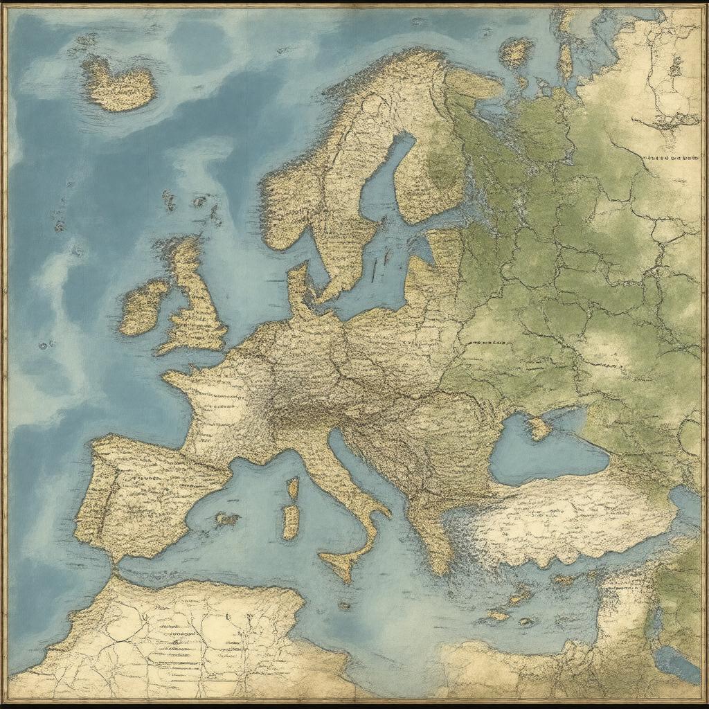
"Generate an image of a historical map of Gaul, a ancient region in Western Europe, during the Iron Age, with its various territories, including Gallia Cisalpina, Gallia Transalpina, Gallia Narbonensis, Gallia Aquitania, Gallia Belgica, and Gallia Lugdunensis, marked, and notable cities such as Lugdunum, Alesia, and Massilia visible, surrounded by the Alps and the Rhine River, in a realistic and detailed style, reminiscent of ancient Roman maps."

