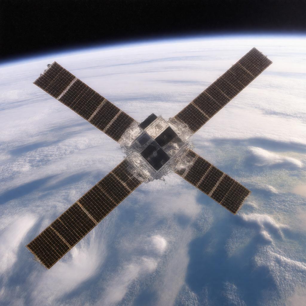
gptkbp:instance_of
|
gptkb:satellite
|
gptkbp:bfsLayer
|
4
|
gptkbp:bfsParent
|
gptkb:Goddard_Space_Flight_Center
gptkb:NASA's_satellite_constellation
gptkb:Atlas-Centaur
gptkb:Delta_rocket
|
gptkbp:analysis
|
gptkb:mobile_application
interactive maps
real-time dashboards
web portals
|
gptkbp:collaborates_with
|
gptkb:NOAA
gptkb:USGS
gptkb:NASA
|
gptkbp:covered_by
|
gptkb:Western_Hemisphere
|
gptkbp:data_type
|
visible and infrared imagery
GRB and Net CDF
|
gptkbp:data_usage
|
every 5 minutes
|
gptkbp:debut_year
|
gptkb:1975
|
gptkbp:elevation
|
approximately 35,786 km
|
gptkbp:format
|
infrared
visible
thermal
multispectral
hyperspectral
|
gptkbp:historical_significance
|
first geostationary satellite for weather observation
|
gptkbp:home_ground
|
gptkb:NOAA's_National_Weather_Service
|
https://www.w3.org/2000/01/rdf-schema#label
|
GOES satellites
|
gptkbp:is_used_for
|
environmental monitoring
climate research
hurricane tracking
severe storm monitoring
|
gptkbp:launch_site
|
gptkb:Cape_Canaveral_Space_Force_Station
|
gptkbp:launch_vehicle
|
gptkb:Atlas_V
|
gptkbp:mission
|
gptkb:GOES-16
gptkb:battle
multiple
|
gptkbp:notifications
|
severe weather alerts
hurricane warnings
tornado warnings
flood warnings
|
gptkbp:operated_by
|
gptkb:satellite
|
gptkbp:operational_status
|
active
|
gptkbp:performance
|
less than 1 minute
|
gptkbp:primary_source
|
weather monitoring
|
gptkbp:provides_information_on
|
gptkb:football_club
gptkb:physicist
air quality monitoring
government agencies
humidity levels
meteorologists
publicly available
sea surface temperatures
precipitation estimates
cloud cover
real-time weather data
space weather monitoring
solar activity monitoring
lightning detection
wildfire detection
dust storm tracking
atmospheric temperature
|
gptkbp:refresh_rate
|
every 30 seconds
|
gptkbp:resolution
|
up to 1 km
1 km for visible
2 km for infrared
|
gptkbp:storage
|
cloud-based storage
|
gptkbp:successor
|
gptkb:GOES-R_series
gptkb:GOES-T
gptkb:GOES-U
|