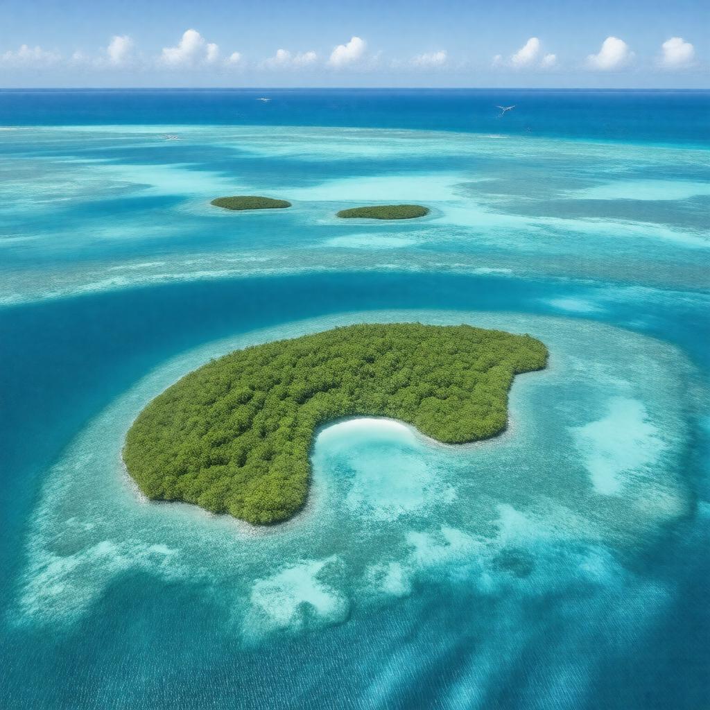
gptkbp:instanceOf
|
gptkb:island
|
gptkbp:administeredBy
|
gptkb:United_States
State of Hawaii
|
gptkbp:area
|
about 30 square kilometers
|
gptkbp:coordinates
|
23°45′N 166°17′W
|
gptkbp:discoveredBy
|
gptkb:Jean-François_de_Galaup,_comte_de_Lapérouse
|
gptkbp:discoveredIn
|
1786
|
gptkbp:distanceFromHanoi
|
about 800 km northwest
|
gptkbp:ecosystem
|
gptkb:island
|
gptkbp:formerMilitaryUse
|
World War II airfield on Tern Island
|
gptkbp:hasIsland
|
gptkb:Disappearing_Island
gptkb:East_Island
gptkb:Gin_Island
gptkb:La_Perouse_Pinnacle
gptkb:Little_Gin_Island
gptkb:Tern_Island
gptkb:Trench_Island
gptkb:Whale-Skate_Island
|
gptkbp:highestPoint
|
gptkb:La_Perouse_Pinnacle
about 36 feet
|
https://www.w3.org/2000/01/rdf-schema#label
|
French Frigate Shoals
|
gptkbp:length
|
about 32 km
|
gptkbp:locatedIn
|
gptkb:Hawaii
gptkb:Pacific_Ocean
|
gptkbp:namedAfter
|
gptkb:French_frigates_Astrolabe_and_Boussole
|
gptkbp:notableFor
|
endangered Hawaiian monk seal habitat
green sea turtle nesting site
seabird colonies
|
gptkbp:partOf
|
gptkb:Northwestern_Hawaiian_Islands
|
gptkbp:population
|
uninhabited
|
gptkbp:protectedArea
|
gptkb:Papahānaumokuākea_Marine_National_Monument
|
gptkbp:UNESCOWorldHeritageSite
|
Papahānaumokuākea
|
gptkbp:width
|
about 1.5 km
|
gptkbp:bfsParent
|
gptkb:Hawaii-Aleutian_Time_Zone
|
gptkbp:bfsLayer
|
4
|