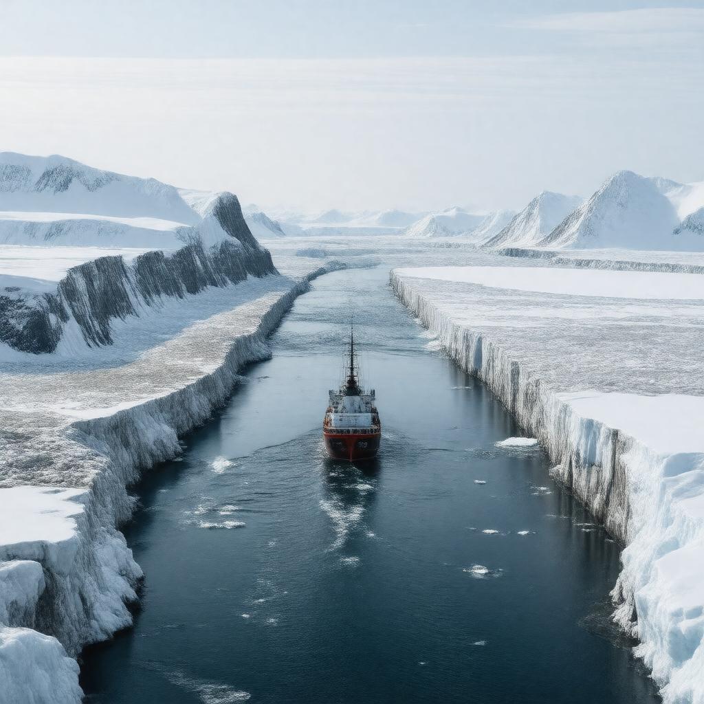
AI-created image
Statements (23)
| Predicate | Object |
|---|---|
| gptkbp:instanceOf |
gptkb:street
|
| gptkbp:borders |
gptkb:Greenland
gptkb:Norway |
| gptkbp:connects |
gptkb:Arctic_Ocean
gptkb:Greenland_Sea |
| gptkbp:explores |
gptkb:Fridtjof_Nansen
gptkb:Otto_Sverdrup |
| gptkbp:importantFor |
ocean circulation between Arctic and Atlantic
|
| gptkbp:lake |
gptkb:East_Greenland_Current
gptkb:West_Spitsbergen_Current |
| gptkbp:latitude |
around 79°N
|
| gptkbp:locatedIn |
gptkb:Arctic_Ocean
|
| gptkbp:longitude |
around 0°E
|
| gptkbp:maximumDepth |
2545 meters
|
| gptkbp:namedAfter |
gptkb:Fram_(ship)
|
| gptkbp:notableFor |
deepest gateway to the Arctic Ocean
|
| gptkbp:separates |
gptkb:Greenland
gptkb:Svalbard |
| gptkbp:usedFor |
gptkb:scientific_research
|
| gptkbp:width |
approximately 450 km
|
| gptkbp:bfsParent |
gptkb:Arctic_Ocean
|
| gptkbp:bfsLayer |
4
|
| http://www.w3.org/2000/01/rdf-schema#label |
Fram Strait
|