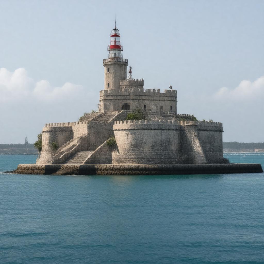
gptkbp:instanceOf
|
fortification
|
gptkbp:accessibility
|
open to the public
|
gptkbp:architecturalStyle
|
military architecture
|
gptkbp:associatedWith
|
military history
Bahamas_history
|
gptkbp:attraction
|
historical landmark
|
gptkbp:built
|
gptkb:Governor_Lord_Dunmore
1793
limestone
strategic military advantage
|
gptkbp:coordinates
|
25.0672° N, 77.3444° W
|
gptkbp:culturalSignificance
|
symbol_of_British_colonial_power
|
gptkbp:currentStatus
|
historical site
|
gptkbp:designedBy
|
gptkb:British_Empire
|
gptkbp:featuredIn
|
travel guides
|
gptkbp:features
|
interpretive signage
cannon emplacements
water cisterns
|
gptkbp:governedBy
|
gptkb:Bahamas_National_Trust
|
gptkbp:historicalEvent
|
defense_during_the_American_Revolution
|
gptkbp:historicalPeriod
|
Colonial period
|
gptkbp:historicalSignificance
|
defense against pirates
|
https://www.w3.org/2000/01/rdf-schema#label
|
Fort Fincastle
|
gptkbp:includes
|
a lookout tower
|
gptkbp:influencedBy
|
European_military_architecture
|
gptkbp:location
|
gptkb:Nassau,_Bahamas
|
gptkbp:maintainedBy
|
local government
|
gptkbp:namedAfter
|
gptkb:Lord_Fincastle
|
gptkbp:notableFeature
|
cannon
stone walls
battlements
flagpole
entrance gate
|
gptkbp:offers
|
panoramic views
|
gptkbp:overlooks
|
gptkb:Nassau_Harbor
|
gptkbp:partOf
|
gptkb:Bahamas_tourism
gptkb:National_Parks_of_the_Bahamas
British_colonial_fortifications
|
gptkbp:renovated
|
20th century
|
gptkbp:significance
|
cultural heritage site
|
gptkbp:surroundingArea
|
gptkb:Fort_Charlotte
Government House
Queen's Staircase
Nassau's_downtown
|
gptkbp:usedFor
|
military purposes
|
gptkbp:usedIn
|
tourist photography
|
gptkbp:visitedBy
|
historical enthusiasts
|
gptkbp:visitors
|
tourists
|