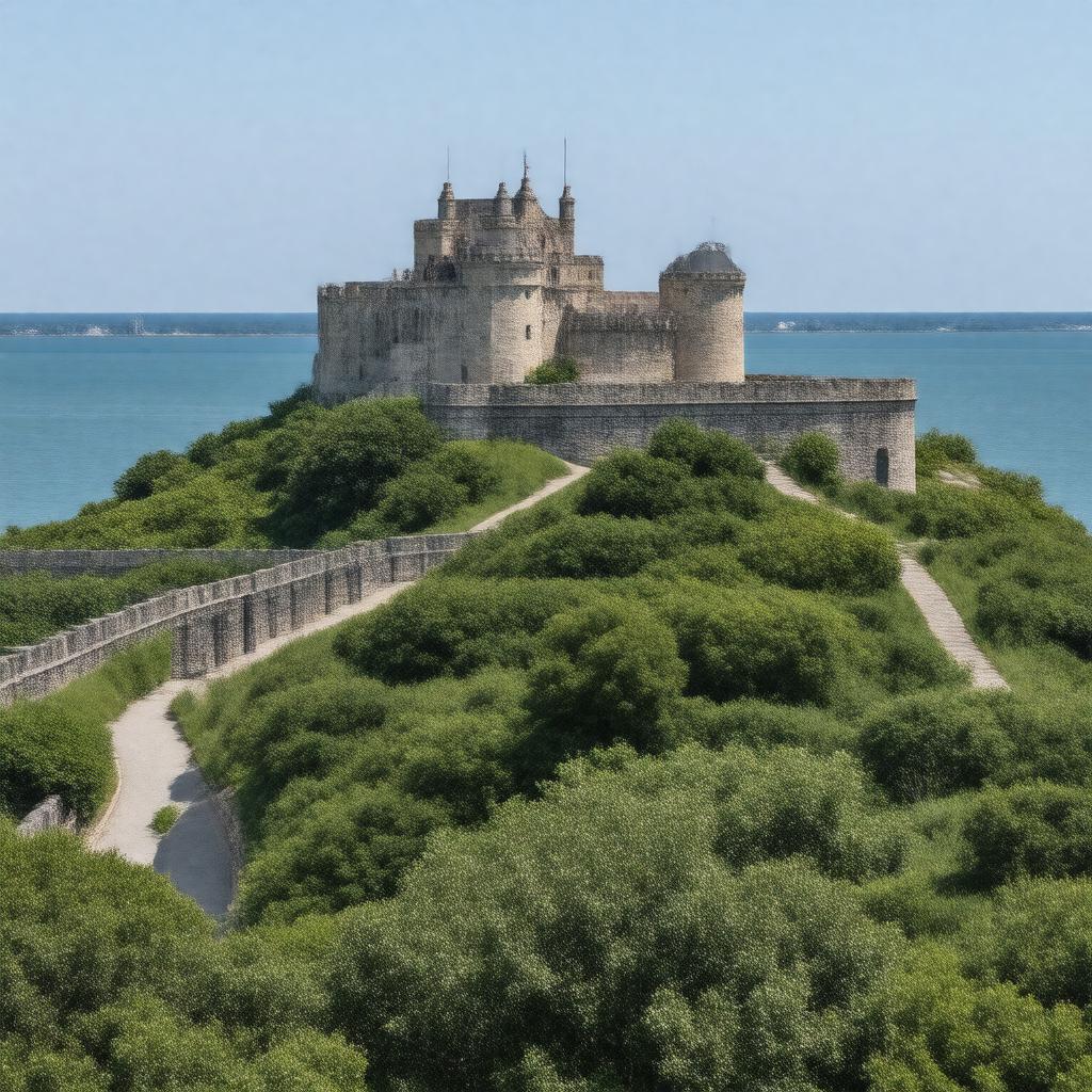
gptkbp:instanceOf
|
fortification
|
gptkbp:architect
|
gptkb:Joseph_G._Totten
|
gptkbp:area
|
approximately 80 acres
|
gptkbp:built
|
1824
|
gptkbp:constructionMaterial
|
brick
granite
|
gptkbp:coordinates
|
41.4875° N, 71.3139° W
|
gptkbp:culturalSignificance
|
art exhibitions
community events
educational programs
local festivals
historical reenactments
|
gptkbp:decommissioned
|
1947
|
gptkbp:design
|
bastion
|
gptkbp:designatedAs
|
National_Historic_Landmark
|
gptkbp:elevation
|
sea level
|
gptkbp:features
|
museum
events
recreational activities
concerts
guided tours
|
gptkbp:historicalEvent
|
gptkb:American_Revolution
gptkb:World_War_II
gptkb:Spanish–American_War
Battle of Newport
|
gptkbp:historicalSignificance
|
gptkb:Civil_War
War of 1812
|
https://www.w3.org/2000/01/rdf-schema#label
|
Fort Adams
|
gptkbp:location
|
gptkb:Newport,_Rhode_Island
|
gptkbp:managedBy
|
gptkb:Rhode_Island_Department_of_Environmental_Management
|
gptkbp:notable_player
|
moat
batteries
bastions
cannon emplacements
|
gptkbp:openToPublic
|
yes
|
gptkbp:partOf
|
gptkb:Fort_Adams_State_Park
|
gptkbp:renovated
|
1970s
1990s
2000s
|
gptkbp:surroundingArea
|
gptkb:Brenton_Point_State_Park
gptkb:Newport_Harbor
gptkb:Ocean_Drive
gptkb:Narragansett_Bay
gptkb:Fort_Adams_State_Park
|
gptkbp:usedBy
|
gptkb:United_States_Army
gptkb:United_States_Navy
|
gptkbp:visitedBy
|
tourists
history enthusiasts
|