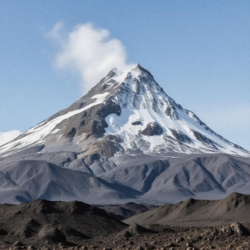
AI-created image
Statements (23)
| Predicate | Object |
|---|---|
| gptkbp:instanceOf |
gptkb:volcanic_activity
|
| gptkbp:country |
gptkb:Iceland
|
| gptkbp:coveredBy |
gptkb:sea_ice
|
| gptkbp:elevation |
1651 meters
|
| gptkbp:eruptionYear |
1821
2010 1612 |
| gptkbp:glacierArea |
about 100 km²
|
| gptkbp:lastEruption |
2010
|
| gptkbp:latitude |
63.63 N
|
| gptkbp:locatedIn |
gptkb:Suðurland
|
| gptkbp:location |
gptkb:Iceland
|
| gptkbp:longitude |
-19.62 W
|
| gptkbp:nameMeaning |
gptkb:Island_Mountain_Glacier
|
| gptkbp:nearby |
gptkb:Katla
|
| gptkbp:notableEvent |
2010 eruption caused major air travel disruption in Europe
|
| gptkbp:parent |
gptkb:Mid-Atlantic_Ridge
|
| gptkbp:partOf |
gptkb:East_Volcanic_Zone
|
| gptkbp:type |
gptkb:stratovolcano
|
| gptkbp:volcanicArcBelt |
gptkb:Iceland_hotspot
|
| gptkbp:bfsParent |
gptkb:Iceland
|
| gptkbp:bfsLayer |
4
|
| http://www.w3.org/2000/01/rdf-schema#label |
Eyjafjallajökull
|