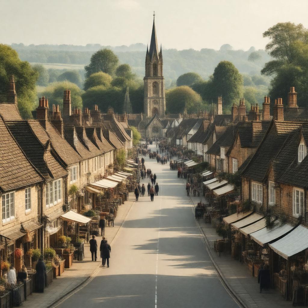
East Dereham

GPTKB entity

Statements (57)
Predicate Object
gptkbp:instance_of gptkb:town
gptkbp:architectural_style Victorian buildings
gptkbp:climate temperate maritime climate
gptkbp:demographics diverse population
gptkbp:economy agriculture
manufacturing
retail and services
gptkbp:government gptkb:City_Council
gptkbp:has_area approximately 4.5 square miles
gptkbp:has_community gptkb:City_Council
youth clubs
volunteer groups
gptkbp:has_culture local arts
gptkbp:has_education gptkb:Dereham_Neatherd_High_School
primary schools
gptkbp:has_events gptkb:Dereham_Carnival
music festivals
gptkbp:has_festival gptkb:Christmas_market
gptkbp:has_history gptkb:Roman_settlement
market town since the 13th century
World War II significance
gptkbp:has_landmark gptkb:The_Old_Post_Office
gptkb:Dereham_Town_Hall
gptkb:St_Nicholas_Church
gptkb:The_Assembly_Rooms
gptkb:The_Church_of_St_Nicholas
gptkb:The_Dereham_Windmill
gptkb:East_Dereham_War_Memorial
gptkb:The_Corn_Hall
The Old Grammar School
The Old Fire Station
The Old Police Station
The Old Market Place
gptkbp:has_museum gptkb:Dereham_Windmill
gptkbp:has_park gptkb:Dereham_Memorial_Park
gptkbp:has_population approximately 16,000
gptkbp:has_river River Doughty
gptkbp:has_sport gptkb:football_club
gptkbp:has_tradition local fairs
https://www.w3.org/2000/01/rdf-schema#label East Dereham
gptkbp:is_near gptkb:Norwich
gptkb:Thetford
gptkbp:is_part_of gptkb:East_Anglia
gptkbp:located_in gptkb:England
gptkb:Norfolk
gptkbp:major_highway A47 road
gptkbp:part_of gptkb:Breckland_district
gptkbp:postal_code NR19
gptkbp:recreation gptkb:sports_facilities
gptkbp:retailers local shops
gptkbp:trains gptkb:Mid-Norfolk_Railway
gptkbp:transportation gptkb:Dereham_railway_station
gptkb:bus_services
cycle paths
gptkbp:bfsParent gptkb:Dereham,_Norfolk,_England
gptkb:Dereham,_England
gptkbp:bfsLayer 7