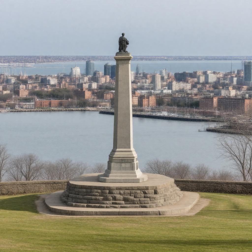
AI-created image
Statements (24)
| Predicate | Object |
|---|---|
| gptkbp:instanceOf |
gptkb:historic_site
|
| gptkbp:addedToNationalRegisterOfHistoricPlaces |
October 15, 1966
|
| gptkbp:city |
gptkb:Boston
|
| gptkbp:commemorates |
Evacuation Day
|
| gptkbp:country |
gptkb:United_States
|
| gptkbp:hasMonument |
gptkb:Dorchester_Heights_Monument
|
| gptkbp:latitude |
42.3317
|
| gptkbp:location |
gptkb:South_Boston
|
| gptkbp:longitude |
-71.0406
|
| gptkbp:managedBy |
gptkb:National_Park_Service
|
| gptkbp:notableEvent |
Fortification by Continental Army
March 1776 |
| gptkbp:NRHPReferenceNumber |
66000776
|
| gptkbp:overlooks |
gptkb:Boston_Harbor
gptkb:Downtown_Boston |
| gptkbp:partOf |
gptkb:Boston_National_Historical_Park
|
| gptkbp:resultedIn |
gptkb:British_evacuation_of_Boston
|
| gptkbp:significance |
Site of American Revolutionary War fortifications
|
| gptkbp:state |
gptkb:Massachusetts
|
| gptkbp:bfsParent |
gptkb:Dorchester
gptkb:Dorchester,_Massachusetts gptkb:Dorchester,_Massachusetts,_United_States |
| gptkbp:bfsLayer |
4
|
| http://www.w3.org/2000/01/rdf-schema#label |
Dorchester Heights
|