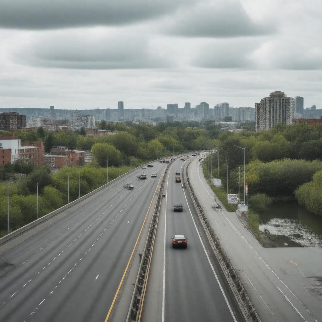
Statements (59)
Predicate | Object |
---|---|
gptkbp:instance_of |
gptkb:Highway
|
gptkbp:access_points |
gptkb:downtown_Toronto
|
gptkbp:can_contain |
rush hours
|
gptkbp:connects |
gptkb:Highway_401
Lake Shore Boulevard |
gptkbp:features |
multiple interchanges
|
gptkbp:has |
scenic views
bicycle lanes several parks nearby emergency call boxes designated carpool lanes traffic signals at some exits |
https://www.w3.org/2000/01/rdf-schema#label |
Don Valley Parkway
|
gptkbp:is_a_route_for |
gptkb:festivals
parades tourists commercial vehicles local traffic public events runners cycling events public transit school buses city tours charity runs marathons emergency vehicles emergency evacuations north-south travel in Toronto |
gptkbp:is_a_vital_link_for |
gptkb:emergency_services
|
gptkbp:is_adjacent_to |
gptkb:Don_River
|
gptkbp:is_affected_by |
weather conditions
|
gptkbp:is_designed_for |
high-speed travel
|
gptkbp:is_featured_in |
Toronto's transportation plans
|
gptkbp:is_known_for |
heavy traffic
its historical significance its tree-lined sections its winding route |
gptkbp:is_maintained_by |
gptkb:City_of_Toronto
safety |
gptkbp:is_monitored_by |
traffic cameras
|
gptkbp:is_often_featured_in |
traffic reports
|
gptkbp:is_often_used_in |
community events
|
gptkbp:is_part_of |
Toronto road network
Toronto's urban landscape Ontario's highway system |
gptkbp:is_used_by |
cyclists
|
gptkbp:is_used_for |
motor vehicle traffic
|
gptkbp:length |
15.5 km
|
gptkbp:located_in |
gptkb:Toronto
|
gptkbp:major_highway |
local residents
|
gptkbp:opened |
gptkb:1971
|
gptkbp:provides_access_to |
gptkb:Edwards_Gardens
gptkb:Toronto_Zoo |
gptkbp:scenic_views |
leisure travelers
|
gptkbp:serves |
commuters
|
gptkbp:bfsParent |
gptkb:Toronto
gptkb:Toronto,_Canada |
gptkbp:bfsLayer |
4
|