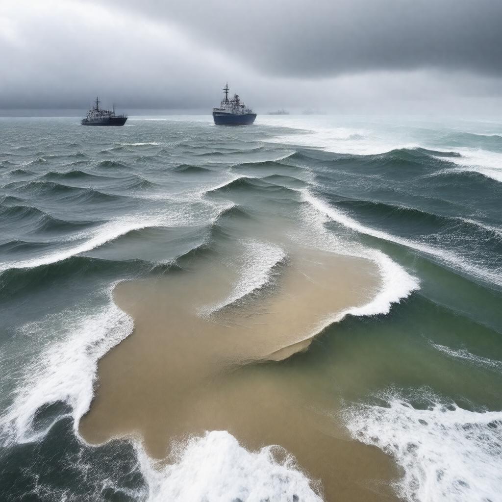
Properties (52)
Predicate | Object |
---|---|
gptkbp:instanceOf |
submarine bank
|
https://www.w3.org/2000/01/rdf-schema#label |
Dogger Bank
|
gptkbp:isAdjacentTo |
Norfolk_coast
|
gptkbp:isAssociatedWith |
renewable energy projects
historical shipwrecks |
gptkbp:isAttendedBy |
climate change
pollution biodiversity assessments scientific research vessels |
gptkbp:isCharacterizedBy |
sandbanks
|
gptkbp:isConnectedTo |
fishing communities
historical land bridges |
gptkbp:isEngagedIn |
overfishing
|
gptkbp:isExploredIn |
oil and gas reserves
|
gptkbp:isHomeTo |
various fish species
marine mammals seabirds crustaceans seafloor habitats marine flora |
gptkbp:isImportantFor |
shipping routes
coastal protection benthic habitats |
gptkbp:isInfluencedBy |
human activities
tidal currents |
gptkbp:isKnownFor |
biodiversity hotspots
diverse marine life |
gptkbp:isLocatedNear |
gptkb:East_Yorkshire
|
gptkbp:isMonitoredBy |
environmental impact
sustainability practices marine conservation organizations |
gptkbp:isNamedAfter |
gptkb:Doggerland
|
gptkbp:isPartOf |
gptkb:Dogger_Bank_Special_Area_of_Conservation
gptkb:European_Marine_Sites marine protected areas marine spatial planning North_Sea_ecosystem UK_Marine_Strategy |
gptkbp:isProminentIn |
offshore wind farms
|
gptkbp:isRecognizedBy |
gptkb:European_Union
gptkb:UNESCO |
gptkbp:isRecognizedFor |
important fishing area
|
gptkbp:isSubjectTo |
international agreements
environmental assessments fishing regulations |
gptkbp:isUsedFor |
recreational fishing
|
gptkbp:isUtilizedFor |
commercial fisheries
tourism activities |
gptkbp:knownFor |
fishing grounds
|
gptkbp:locatedIn |
gptkb:North_Sea
|
gptkbp:partOf |
gptkb:United_Kingdom_continental_shelf
|
gptkbp:supports |
marine_biodiversity
|