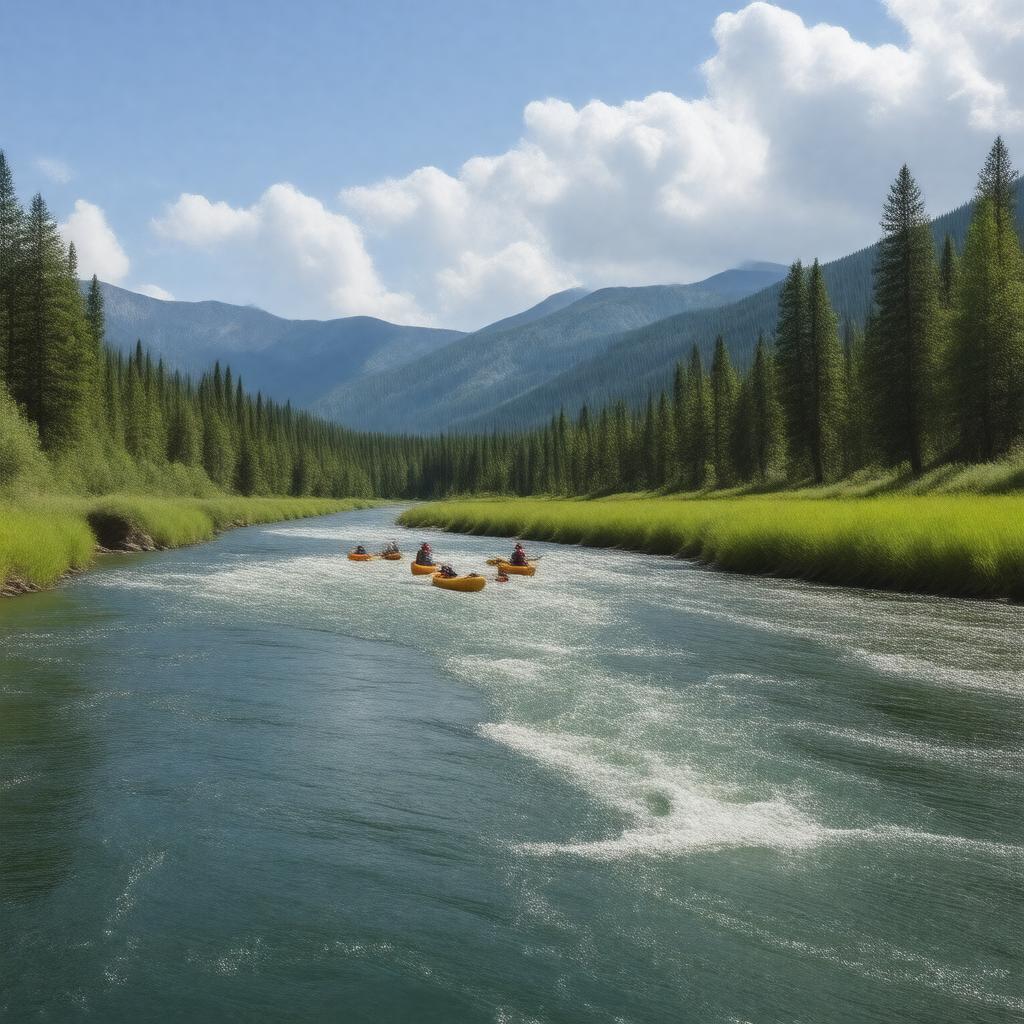
AI-created image
Statements (32)
| Predicate | Object |
|---|---|
| gptkbp:instanceOf |
gptkb:river
|
| gptkbp:basinSize |
10,500 square miles
|
| gptkbp:country |
gptkb:United_States
|
| gptkbp:flowsThrough |
gptkb:Bend,_Oregon
gptkb:Deschutes_County gptkb:Jefferson_County gptkb:Wasco_County |
| gptkbp:hasTributary |
gptkb:White_River
gptkb:Crooked_River gptkb:Metolius_River |
| gptkbp:historicalSignificance |
Native American fishing site
Oregon Trail crossing |
| gptkbp:length |
252 miles
|
| gptkbp:locatedIn |
gptkb:Oregon
|
| gptkbp:mouth |
gptkb:Columbia_River
|
| gptkbp:mouthLocation |
near The Dalles, Oregon
|
| gptkbp:namedAfter |
French word for 'falls' or 'rapids'
|
| gptkbp:notableFor |
scenic beauty
fly fishing rafting |
| gptkbp:protectedArea |
gptkb:Deschutes_River_State_Recreation_Area
|
| gptkbp:source |
gptkb:Little_Lava_Lake
|
| gptkbp:tributaryOf |
gptkb:Columbia_River
|
| gptkbp:usedFor |
hydroelectric power
irrigation recreation |
| gptkbp:bfsParent |
gptkb:Bend,_Oregon
gptkb:Columbia_River gptkb:Oregon gptkb:Oregon,_United_States |
| gptkbp:bfsLayer |
4
|
| http://www.w3.org/2000/01/rdf-schema#label |
Deschutes River
|