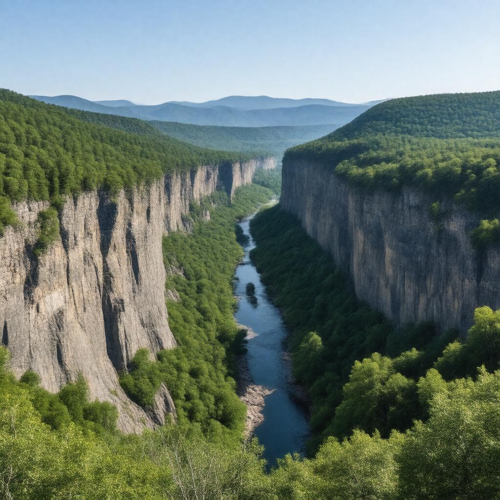
AI-created image
Statements (29)
| Predicate | Object |
|---|---|
| gptkbp:instanceOf |
gptkb:water_gap
|
| gptkbp:crosses |
gptkb:Appalachian_Trail
gptkb:Interstate_80 |
| gptkbp:formedBy |
gptkb:Delaware_River
|
| gptkbp:geologicalAge |
about 450 million years
|
| gptkbp:highestPoint |
gptkb:Mount_Minsi
gptkb:Mount_Tammany |
| gptkbp:length |
about 1 mile
|
| gptkbp:locatedIn |
gptkb:New_Jersey
gptkb:Pennsylvania gptkb:United_States |
| gptkbp:maximumDepth |
about 1,200 feet
|
| gptkbp:namedAfter |
gptkb:Delaware_River
|
| gptkbp:nearestCity |
gptkb:Columbia,_New_Jersey
gptkb:Delaware_Water_Gap,_Pennsylvania |
| gptkbp:partOf |
gptkb:Appalachian_Mountains
|
| gptkbp:popularFor |
canoeing
hiking scenic views rock climbing |
| gptkbp:protectedBy |
Delaware Water Gap National Recreation Area
|
| gptkbp:touristAttraction |
yes
|
| gptkbp:UNESCOStatus |
not a World Heritage Site
|
| gptkbp:bfsParent |
gptkb:Appalachian_Trail
gptkb:Mid-Atlantic_United_States gptkb:Northeast_United_States gptkb:Monroe_County_(PA) |
| gptkbp:bfsLayer |
5
|
| http://www.w3.org/2000/01/rdf-schema#label |
Delaware Water Gap
|