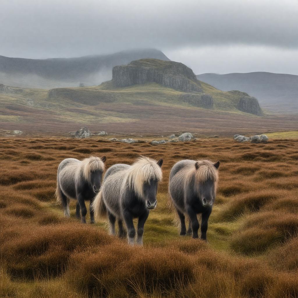
AI-created image
Statements (53)
| Predicate | Object |
|---|---|
| gptkbp:instanceOf |
gptkb:grass
|
| gptkbp:area |
954 km²
|
| gptkbp:climate |
oceanic
|
| gptkbp:contains |
Dartmoor National Park
|
| gptkbp:country |
gptkb:England
gptkb:United_Kingdom |
| gptkbp:established |
1951
|
| gptkbp:famousFor |
gptkb:The_Hound_of_the_Baskervilles
|
| gptkbp:geology |
gptkb:granite
|
| gptkbp:governingBody |
Dartmoor National Park Authority
|
| gptkbp:hasEvent |
Dartmoor Classic Sportive
Dartmoor Folk Festival Ten Tors Challenge |
| gptkbp:hasFeature |
gptkb:grass
ancient woodlands bogs clapper bridges prehistoric stone circles tors |
| gptkbp:hasPrison |
HM Prison Dartmoor
|
| gptkbp:hasRiver |
gptkb:River_Plym
gptkb:River_Tavy River Dart River Teign |
| gptkbp:hasTown |
gptkb:Tavistock
Ashburton Okehampton Princetown |
| gptkbp:hasWildlife |
gptkb:lake
Dartmoor pony adder buzzard red deer |
| gptkbp:highestPoint |
621 metres
High Willhays |
| gptkbp:knownFor |
granite tors
prehistoric monuments wild ponies |
| gptkbp:location |
gptkb:Devon
|
| gptkbp:protectedArea |
Dartmoor National Park
|
| gptkbp:touristAttraction |
Bellever Forest
Buckland-in-the-Moor Grimspound Haytor Lydford Gorge Postbridge Widecombe-in-the-Moor Wistman's Wood |
| gptkbp:UNESCOStatus |
Tentative List (as part of English Lake District and Dartmoor)
|
| gptkbp:usedFor |
gptkb:military
|
| gptkbp:bfsParent |
gptkb:England
|
| gptkbp:bfsLayer |
4
|
| http://www.w3.org/2000/01/rdf-schema#label |
Dartmoor
|