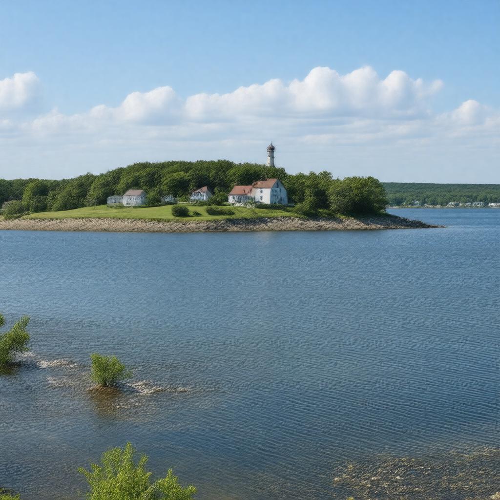
AI-created image
Statements (28)
| Predicate | Object |
|---|---|
| gptkbp:instanceOf |
gptkb:island
|
| gptkbp:access |
ferry from New Bedford
private boats |
| gptkbp:area |
0.87 square miles
|
| gptkbp:containsSettlement |
1602
|
| gptkbp:coordinates |
41.4156°N 70.9281°W
|
| gptkbp:county |
gptkb:Dukes_County
|
| gptkbp:elevation |
154 feet
|
| gptkbp:hasLighthouse |
gptkb:Cuttyhunk_Light_(historical)
|
| gptkbp:hasSchool |
gptkb:Cuttyhunk_Elementary_School
|
| gptkbp:hasTown |
gptkb:Gosnold
|
| gptkbp:historicalEvent |
site of Bartholomew Gosnold's 1602 landing
|
| gptkbp:locatedIn |
gptkb:Massachusetts
gptkb:United_States |
| gptkbp:mainIndustry |
fishing
tourism |
| gptkbp:namedFor |
possibly from Wampanoag or English origin
|
| gptkbp:notableFeature |
gptkb:Cuttyhunk_Harbor
gptkb:Lookout_Hill gptkb:West_End_Pond |
| gptkbp:partOf |
gptkb:Elizabeth_Islands
|
| gptkbp:population |
52
|
| gptkbp:populationAsOf |
2020
|
| gptkbp:postalCode |
02713
|
| gptkbp:timezone |
gptkb:Eastern_Time_Zone
|
| gptkbp:bfsParent |
gptkb:Buzzards_Bay
|
| gptkbp:bfsLayer |
4
|
| http://www.w3.org/2000/01/rdf-schema#label |
Cuttyhunk Island
|