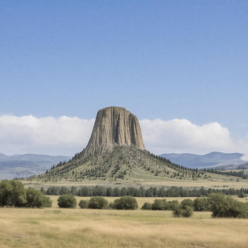
gptkbp:instance_of
|
gptkb:County
|
gptkbp:area
|
2,100 square miles
|
gptkbp:climate
|
Semi-arid climate
Cold winters
Warm summers
|
gptkbp:country
|
gptkb:United_States
|
gptkbp:demographics
|
Rural
|
gptkbp:economy
|
gptkb:tourism
gptkb:Agriculture
Mining
Ranching
|
gptkbp:education
|
gptkb:Crook_County_School_District
gptkb:Hulett_School
gptkb:Pine_Haven_School
gptkb:Sundance_High_School
|
gptkbp:elevation
|
4,500 feet
|
gptkbp:events
|
gptkb:Sundance_Film_Festival
gptkb:Sundance_Rodeo
Crook County Fair
|
gptkbp:founded
|
1867
|
gptkbp:government_type
|
gptkb:Board_of_Commissioners
|
gptkbp:has_county_seat
|
gptkb:Sundance
|
gptkbp:historical_site
|
gptkb:Crook_County_Courthouse
gptkb:Sundance_Historic_District
Old Stoney
Sundance Depot
|
https://www.w3.org/2000/01/rdf-schema#label
|
Crook County, Wyoming
|
gptkbp:landmark
|
gptkb:Devils_Tower_National_Monument
gptkb:Black_Hills_National_Forest
Bear Lodge
Sundance Mountain
|
gptkbp:major_highway
|
gptkb:U._S._Route_14
Wyoming Highway 585
|
gptkbp:named_after
|
gptkb:Alfred_H._Crook
|
gptkbp:part_of
|
Black Hills region
|
gptkbp:population
|
7,083
|
gptkbp:population_density
|
3.4 per square mile
|
gptkbp:rank
|
6th in Wyoming
|
gptkbp:state
|
gptkb:Wyoming
|
gptkbp:time_zone
|
Mountain Time Zone
|
gptkbp:transportation
|
gptkb:public_transportation
Airports
Railroads
|
gptkbp:wildlife
|
gptkb:deer
gptkb:bighorn_sheep
gptkb:Coyotes
gptkb:elk
Wild Turkeys
|
gptkbp:zip_code
|
82729
82730
82732
82734
|
gptkbp:bfsParent
|
gptkb:Devils_Tower
gptkb:Devils_Tower_National_Monument
gptkb:George_Crook
gptkb:Devil's_Tower
|
gptkbp:bfsLayer
|
5
|