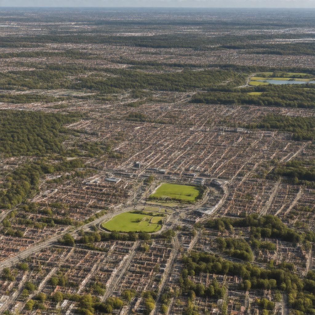
Crawley, West Sussex, England

GPTKB entity

Statements (56)
Predicate Object
gptkbp:instance_of gptkb:town
gptkbp:calling_code 01293
gptkbp:cultural_events gptkb:Crawley_Carnival
gptkbp:founded 1940s
gptkbp:governed_by gptkb:Crawley_Borough_Council
gptkbp:has_airport gptkb:London_Gatwick_Airport
gptkbp:has_area 17.5 square miles
gptkbp:has_community gptkb:Crawley_Community_Centre
gptkbp:has_economy_based_on gptkb:Retail
gptkb:transportation
Aerospace
gptkbp:has_education gptkb:Crawley_College
gptkbp:has_events gptkb:Crawley_Festival
gptkbp:has_festival gptkb:Crawley_Food_Festival
gptkbp:has_library gptkb:Crawley_Library
gptkbp:has_museum gptkb:Crawley_Museum
gptkbp:has_park gptkb:Tilgate_Park
gptkbp:has_population 112,000
gptkbp:has_public_transport gptkb:Metrobus
gptkbp:has_river gptkb:River_Mole
gptkbp:has_shopping_area gptkb:County_Mall_Shopping_Centre
gptkbp:has_transport_link gptkb:Gatwick_Airport
gptkbp:historical_event Development in the 1960s
gptkbp:historical_site gptkb:St._John_the_Baptist_Church
https://www.w3.org/2000/01/rdf-schema#label Crawley, West Sussex, England
gptkbp:is_connected_to gptkb:M23_motorway
A23 road
gptkbp:is_home_to gptkb:Crawley_Town_Hall
gptkb:Crawley_Arts
gptkb:Crawley_Cricket_Club
gptkb:Crawley_Football_Club
gptkb:Crawley_Leisure_Park
gptkb:Crawley_Museum_and_Community_Centre
gptkb:Crawley_Rugby_Club
gptkb:Crawley_Town_F._C.
Crawley Town Centre
Crawley Town Centre Shopping
gptkbp:is_known_for gptkb:Crawley_Town_Football_Club
gptkb:parks
Shopping
Business parks
Transport Links
gptkbp:is_near gptkb:Gatwick_Airport
gptkbp:is_part_of gptkb:South_East_England
gptkb:Crawley_constituency
gptkbp:located_in gptkb:England
gptkb:West_Sussex
gptkbp:part_of gptkb:Greater_London_Urban_Area
gptkbp:postal_code RH10
gptkbp:railway_line gptkb:Crawley_railway_station
gptkbp:sports_facilities gptkb:K2_Crawley
gptkbp:sports_team gptkb:Crawley_Wasps_L._F._C.
gptkbp:theater The Hawth
gptkbp:bfsParent gptkb:Gatwick_Airport
gptkb:Virgin_Atlantic_Airways
gptkbp:bfsLayer 4