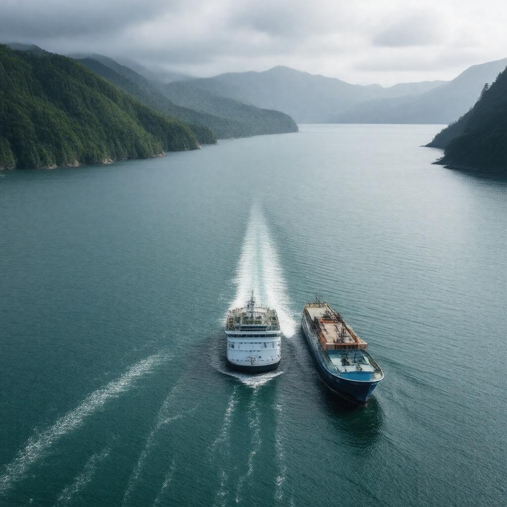
AI-created image
Statements (25)
| Predicate | Object |
|---|---|
| gptkbp:instanceOf |
gptkb:street
|
| gptkbp:connects |
gptkb:Tasman_Sea
South Pacific Ocean |
| gptkbp:crosses |
gptkb:Bluebridge_ferry
gptkb:Interislander_ferry |
| gptkbp:firstContactWithEuropeans |
James Cook
|
| gptkbp:hasMaoriName |
gptkb:Te_Moana-o-Raukawa
|
| gptkbp:knownFor |
strong tidal currents
|
| gptkbp:locatedIn |
gptkb:New_Zealand
|
| gptkbp:maximumDepth |
up to 128 meters
|
| gptkbp:namedAfter |
James Cook
|
| gptkbp:notableEvent |
gptkb:Wahine_disaster
|
| gptkbp:notableFor |
challenging swimming crossings
|
| gptkbp:partOf |
gptkb:Pacific_Ocean
|
| gptkbp:region |
gptkb:Marlborough
gptkb:Wellington |
| gptkbp:separates |
North Island
South Island |
| gptkbp:width |
22 kilometers
|
| gptkbp:bfsParent |
gptkb:Wellington_Harbour
gptkb:Seatoun gptkb:Owhiro_Bay gptkb:Wellington_Region |
| gptkbp:bfsLayer |
5
|
| http://www.w3.org/2000/01/rdf-schema#label |
Cook Strait
|