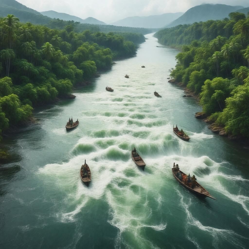
gptkbp:instanceOf
|
gptkb:river
|
gptkbp:basinSize
|
about 4,000,000 km²
|
gptkbp:borders
|
gptkb:Democratic_Republic_of_the_Congo
gptkb:Republic_of_the_Congo
|
gptkbp:country
|
gptkb:Angola
gptkb:Burundi
gptkb:Cameroon
gptkb:Central_African_Republic
gptkb:Democratic_Republic_of_the_Congo
gptkb:Republic_of_the_Congo
gptkb:Rwanda
gptkb:Tanzania
gptkb:Zambia
|
gptkbp:crossesEquator
|
twice
|
gptkbp:deepestRiverInTheWorld
|
true
|
gptkbp:explores
|
gptkb:Henry_Morton_Stanley
|
gptkbp:flowsThrough
|
gptkb:Democratic_Republic_of_the_Congo
gptkb:Republic_of_the_Congo
second largest in the world by volume
|
gptkbp:hasBiodiversity
|
very high
|
gptkbp:historicalName
|
gptkb:Zaire_River
|
https://www.w3.org/2000/01/rdf-schema#label
|
Congo River
|
gptkbp:hydroelectricPotential
|
very high
|
gptkbp:importantFor
|
gptkb:transportation
fishing
hydroelectric power
trade
|
gptkbp:length
|
approximately 4,700 km
|
gptkbp:locatedIn
|
gptkb:Africa
|
gptkbp:mainTributary
|
gptkb:Aruwimi_River
gptkb:Kasai_River
gptkb:Lulonga_River
Sangha River
Ubangi River
|
gptkbp:majorCity
|
gptkb:Kisangani
gptkb:Mbandaka
gptkb:Brazzaville
gptkb:Kinshasa
|
gptkbp:maximumDepth
|
over 220 meters
|
gptkbp:mouth
|
gptkb:Atlantic_Ocean
|
gptkbp:navigableSections
|
yes
|
gptkbp:notableFeature
|
gptkb:Inga_Falls
gptkb:Livingstone_Falls
|
gptkbp:partOf
|
gptkb:Congo_Basin
|
gptkbp:secondLongestRiverIn
|
gptkb:Africa
|
gptkbp:source
|
gptkb:Lualaba_River
|
gptkbp:bfsParent
|
gptkb:Democratic_Republic_of_the_Congo
gptkb:Republic_of_the_Congo
gptkb:Sub-Saharan_Africa
|
gptkbp:bfsLayer
|
4
|