Prompt
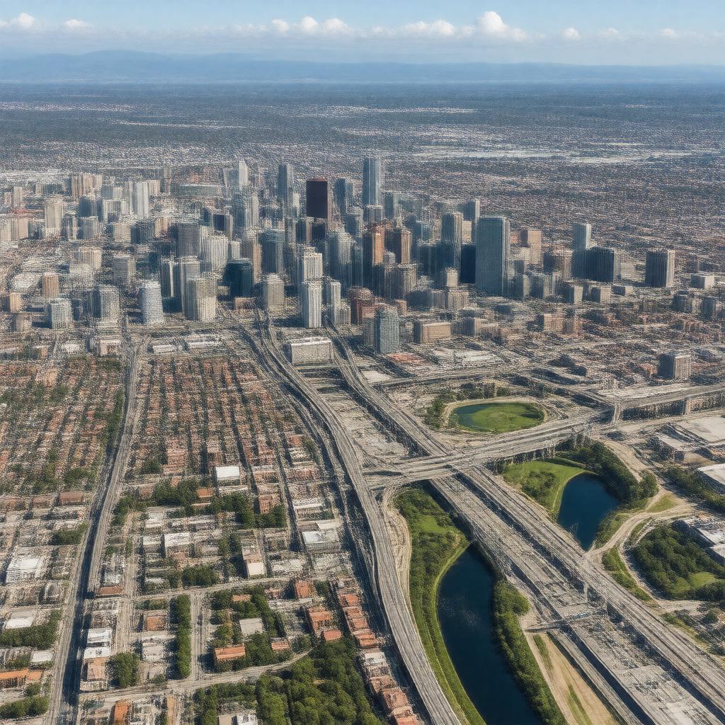
"Generate a realistic aerial view image of the Columbus metropolitan area, showcasing the city's skyline, major highways such as I-70, I-71, and I-270, and surrounding suburbs like Dublin, Westerville, and Grove City, with the Scioto River running through it, and Ohio State University's campus visible, set against a backdrop of a clear blue sky with a few clouds, in a daytime setting, with a mix of modern and natural scenery."

