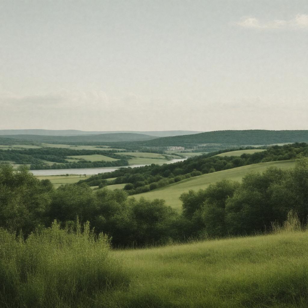
gptkbp:instanceOf
|
County
|
gptkbp:adjacentTo
|
gptkb:Miller_County
gptkb:Moniteau_County
gptkb:Callaway_County
gptkb:Osage_County
Laclede County
|
gptkbp:area
|
840 square miles
|
gptkbp:areaCode
|
573
|
gptkbp:contains
|
gptkb:Missouri_State_Capitol
|
gptkbp:demographics
|
Diverse population
Median age 38 years
Household size 2.5
Income per capita $30,000
Poverty rate 12%
|
gptkbp:distribution
|
89 people per square mile
|
gptkbp:economy
|
Agriculture
Healthcare
Manufacturing
Retail
|
gptkbp:education
|
gptkb:Jefferson_City_School_District
gptkb:Lincoln_University
|
gptkbp:elevation
|
600 feet
|
gptkbp:established
|
1820
|
gptkbp:governedBy
|
County_Commission
|
gptkbp:hasCountry
|
gptkb:Jefferson_City
|
gptkbp:historicalSignificance
|
Civil War battles
|
https://www.w3.org/2000/01/rdf-schema#label
|
Cole County
|
gptkbp:landmark
|
gptkb:Missouri_State_Penitentiary
gptkb:Jefferson_City_Public_Library
gptkb:Runge_Conservation_Nature_Center
gptkb:Cole_County_Historical_Society
gptkb:Missouri_Governor's_Mansion
|
gptkbp:locatedIn
|
gptkb:Missouri
|
gptkbp:majorHighway
|
gptkb:Missouri_Route_54
gptkb:U.S._Route_50
gptkb:Missouri_Route_63
Interstate 70
|
gptkbp:namedAfter
|
gptkb:Stephen_Cole
|
gptkbp:partOf
|
gptkb:United_States
|
gptkbp:population
|
75,000
|
gptkbp:timeZone
|
gptkb:Central_Time_Zone
|
gptkbp:website
|
www.colecounty.org
|
gptkbp:zipCode
|
65101
65043
65084
65109
|