Prompt
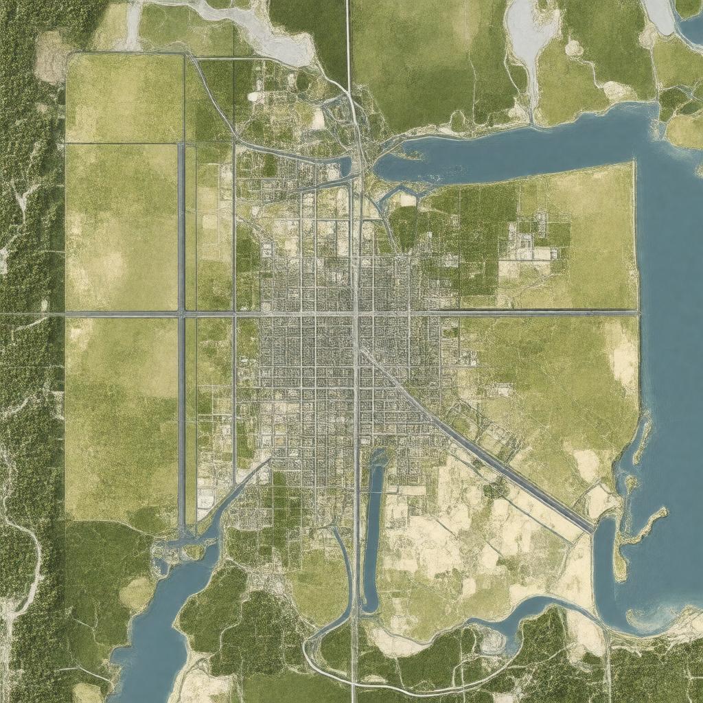
"Generate a realistic image of a map or a panoramic view showcasing the Cleveland-Akron-Canton region in Ohio, United States, highlighting the cities of Cleveland, Akron, and Canton, with notable landmarks such as Cleveland Hopkins International Airport and Akron-Canton Airport, set against a backdrop that represents the Eastern Time Zone, incorporating area codes 216, 330, 234, and 440, with a scale or context that reflects a population of approximately 3,500,000 people."

