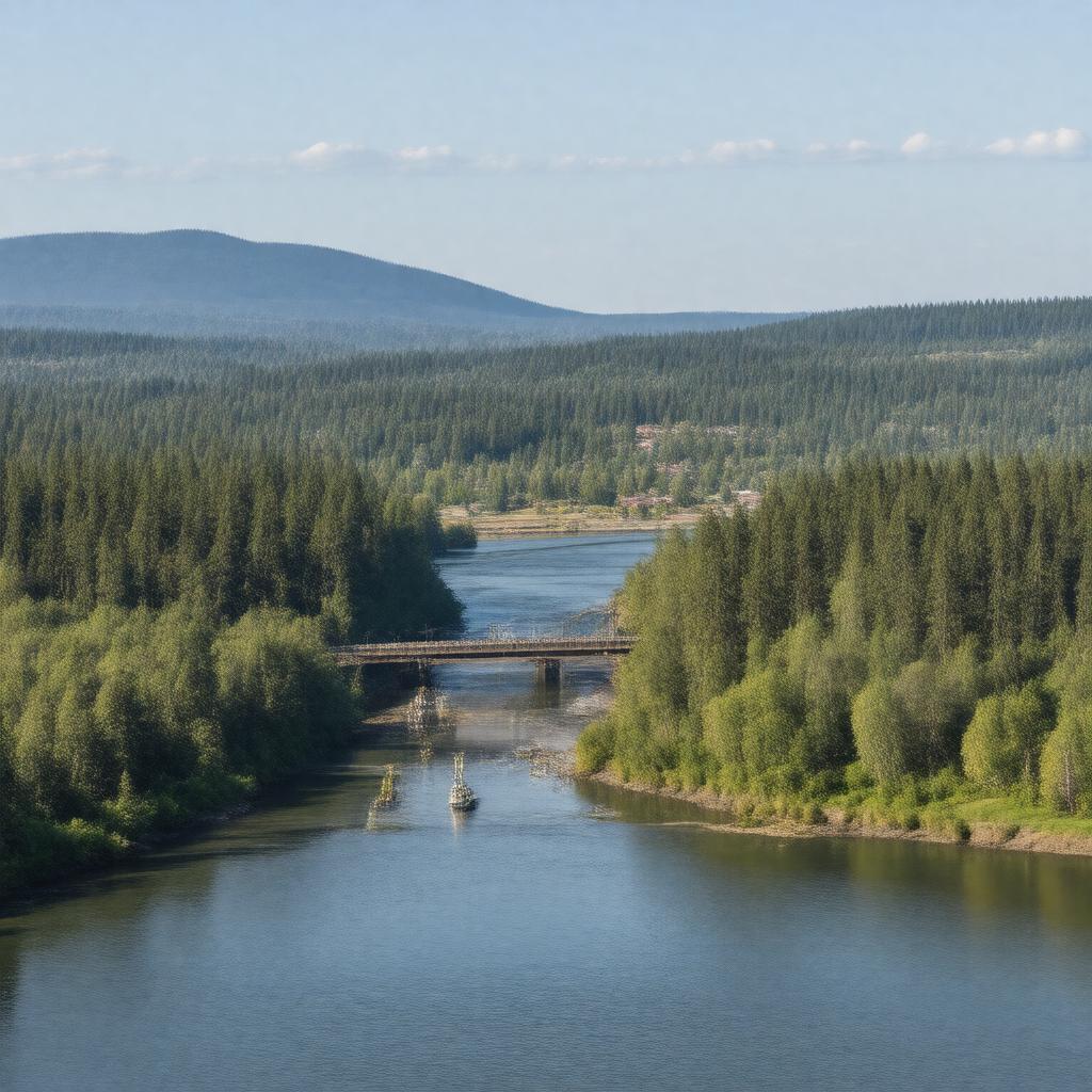
Clark County, Washington

GPTKB entity

Statements (99)
Predicate Object
gptkbp:instanceOf gptkb:county
gptkbp:areaLandKm2 1631
gptkbp:areaTotalKm2 1700
gptkbp:areaWaterKm2 69
gptkbp:borderedBy gptkb:Columbia_River
gptkb:Cowlitz_County,_Washington
gptkb:Multnomah_County,_Oregon
gptkb:Skamania_County,_Washington
gptkbp:congressionalDistrict 3rd
gptkbp:containsCommunity gptkb:Pioneer
gptkb:Barberton
gptkb:Brush_Prairie
gptkb:Cherry_Grove
gptkb:Clark_College
gptkb:Dollars_Corner
gptkb:Felida
gptkb:Five_Corners
gptkb:Hazel_Dell
gptkb:Heisson
gptkb:Lewisville
gptkb:Meadow_Glade
gptkb:Orchards
gptkb:Pleasant_Valley
gptkb:Proebstel
gptkb:Salmon_Creek
gptkb:Sifton
gptkb:Venersborg
gptkb:Walnut_Grove
Woodland (partly)
gptkbp:country gptkb:United_States
gptkbp:countySeat gptkb:Vancouver,_Washington
gptkbp:elevation 56 m
gptkbp:FIPS_code 53-011
gptkbp:founded 1845
gptkbp:GNIS_feature_ID 2404792
gptkbp:hasAirport gptkb:Grove_Field
gptkb:Pearson_Field
gptkb:Vancouver_Lake_Seaplane_Base
gptkbp:hasBridge gptkb:Glenn_L._Jackson_Memorial_Bridge
gptkb:Interstate_Bridge
Lewis and Clark Bridge (nearby)
gptkbp:hasCity gptkb:Vancouver,_Washington
gptkb:Ridgefield
gptkb:Battle_Ground
gptkb:Camas
gptkb:La_Center
gptkb:Washougal
gptkbp:hasHistoricSite gptkb:Camas_Paper_Mill
gptkb:Cedar_Creek_Grist_Mill
gptkb:Clark_County_Historical_Museum
gptkb:Fort_Vancouver_National_Historic_Site
gptkb:Officers_Row
gptkb:Pearson_Air_Museum
gptkbp:hasHospital gptkb:Legacy_Salmon_Creek_Medical_Center
gptkb:PeaceHealth_Southwest_Medical_Center
PeaceHealth St. John Medical Center (nearby)
gptkbp:hasLibrary gptkb:Fort_Vancouver_Regional_Library_District
gptkbp:hasNewspaper gptkb:The_Columbian
gptkbp:hasPark gptkb:Frenchman's_Bar_Regional_Park
gptkb:Lacamas_Lake_Regional_Park
gptkb:Lewisville_Regional_Park
gptkb:Salmon_Creek_Regional_Park
gptkb:Vancouver_Lake_Regional_Park
gptkbp:hasRiver gptkb:Columbia_River
gptkb:Burnt_Bridge_Creek
gptkb:Lacamas_Creek
gptkb:Lewis_River
gptkb:Salmon_Creek
gptkb:Washougal_River
gptkbp:hasTown gptkb:Yacolt
https://www.w3.org/2000/01/rdf-schema#label Clark County, Washington
gptkbp:largestCity gptkb:Vancouver,_Washington
gptkbp:locatedIn gptkb:Washington
gptkbp:majorHighway gptkb:Interstate_5
gptkb:Interstate_205
gptkb:State_Route_14
gptkb:State_Route_500
gptkb:State_Route_501
gptkb:State_Route_502
gptkb:State_Route_503
gptkbp:metropolitanArea gptkb:Portland_metropolitan_area
gptkbp:namedAfter gptkb:William_Clark
gptkbp:population 503311
gptkbp:populationAsOf 2020
gptkbp:region gptkb:Southwest_Washington
gptkbp:schoolDistrict gptkb:Battle_Ground_School_District
gptkb:Camas_School_District
gptkb:Evergreen_Public_Schools
gptkb:Green_Mountain_School_District
gptkb:Hockinson_School_District
gptkb:La_Center_School_District
gptkb:Ridgefield_School_District
gptkb:Vancouver_Public_Schools
gptkb:Washougal_School_District
Woodland School District (partly)
gptkbp:timezone gptkb:Pacific_Time_Zone
gptkbp:website https://clark.wa.gov/
gptkbp:bfsParent gptkb:Multnomah_County
gptkbp:bfsLayer 4