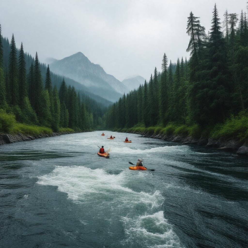
AI-created image
Statements (23)
| Predicate | Object |
|---|---|
| gptkbp:instanceOf |
gptkb:river
|
| gptkbp:basinSize |
940 square miles
|
| gptkbp:country |
gptkb:United_States
|
| gptkbp:flowsThrough |
gptkb:Clackamas_County
gptkb:Mount_Hood_National_Forest |
| gptkbp:hasFishSpecies |
gptkb:fish
gptkb:Steelhead Cutthroat trout Coho salmon |
| gptkbp:hasWildAndScenicDesignation |
yes
|
| gptkbp:length |
83 miles
|
| gptkbp:locatedIn |
gptkb:Oregon
|
| gptkbp:mouth |
gptkb:Willamette_River
|
| gptkbp:mouthLocation |
near Oregon City
|
| gptkbp:namedAfter |
gptkb:Clackamas_people
|
| gptkbp:source |
gptkb:Olallie_Butte
|
| gptkbp:tributaryOf |
gptkb:Willamette_River
|
| gptkbp:usedFor |
hydroelectric power
recreation drinking water supply |
| gptkbp:bfsParent |
gptkb:Willamette_River
|
| gptkbp:bfsLayer |
4
|
| http://www.w3.org/2000/01/rdf-schema#label |
Clackamas River
|