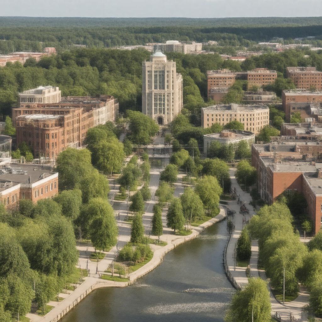
gptkbp:instanceOf
|
gptkb:city
|
gptkbp:areaCode
|
508
774
|
gptkbp:areaLandKm2
|
64.56
|
gptkbp:areaTotalKm2
|
68.43
|
gptkbp:areaWaterKm2
|
3.87
|
gptkbp:book
|
gptkb:Framingham_Public_Library
|
gptkbp:cityhood
|
2018
|
gptkbp:country
|
gptkb:United_States
|
gptkbp:county
|
gptkb:Middlesex_County
|
gptkbp:demographics
|
diverse population
|
gptkbp:FIPS_code
|
25-25190
|
gptkbp:GNIS_feature_ID
|
0618227
|
gptkbp:governmentType
|
Mayor–council
|
gptkbp:historicalEvent
|
became a city in 2018
|
https://www.w3.org/2000/01/rdf-schema#label
|
City of Framingham
|
gptkbp:incorporated
|
1700
|
gptkbp:latitude
|
42.2793
|
gptkbp:locatedIn
|
gptkb:Massachusetts
|
gptkbp:longitude
|
-71.4162
|
gptkbp:majorHighway
|
gptkb:Massachusetts_Route_9
gptkb:Interstate_90
gptkb:Massachusetts_Route_30
gptkb:Massachusetts_Route_126
gptkb:Massachusetts_Route_135
|
gptkbp:mayor
|
gptkb:Charlie_Sisitsky
|
gptkbp:namedFor
|
gptkb:Framlingham,_England
|
gptkbp:nearestCity
|
gptkb:Ashland
gptkb:Natick
gptkb:Sherborn
gptkb:Southborough
gptkb:Sudbury
gptkb:Wayland
|
gptkbp:notableLandmark
|
gptkb:Callahan_State_Park
gptkb:Framingham_State_University
gptkb:Edgell_Grove_Cemetery
gptkb:Framingham_Centre_Common
gptkb:Saxonville
|
gptkbp:officialWebsite
|
https://www.framinghamma.gov/
|
gptkbp:population
|
72662
|
gptkbp:publicTransit
|
gptkb:MBTA_Framingham/Worcester_Line
|
gptkbp:region
|
gptkb:Metrowest
|
gptkbp:schoolDistrict
|
gptkb:Framingham_Public_Schools
|
gptkbp:timezone
|
Eastern
|
gptkbp:zipCode
|
01701
01702
01703
01704
01705
|
gptkbp:bfsParent
|
gptkb:Cushing_Memorial_Park
|
gptkbp:bfsLayer
|
5
|