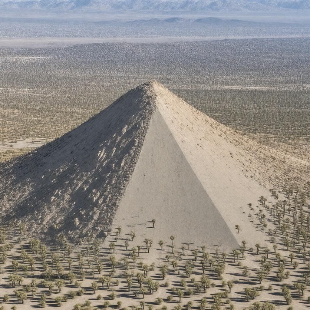
AI-created image
Statements (20)
| Predicate | Object |
|---|---|
| gptkbp:instanceOf |
gptkb:geological_formation
|
| gptkbp:elevation |
2424 meters
|
| gptkbp:featureType |
gptkb:Granite_dome
|
| gptkbp:formedBy |
Erosion
|
| gptkbp:latitude |
35.2472
|
| gptkbp:locatedIn |
gptkb:California
gptkb:United_States gptkb:Mojave_National_Preserve San Bernardino County |
| gptkbp:longitude |
-115.5092
|
| gptkbp:mapType |
gptkb:Cima_Dome_Quadrangle
|
| gptkbp:nearby |
gptkb:Cima_Volcanic_Field
|
| gptkbp:notableFor |
Extensive Joshua tree forest
Symmetrical dome shape |
| gptkbp:partOf |
gptkb:Mojave_Desert
|
| gptkbp:prominence |
about 500 meters
|
| gptkbp:protectedBy |
gptkb:National_Park_Service
|
| gptkbp:bfsParent |
gptkb:Mojave_Desert
|
| gptkbp:bfsLayer |
5
|
| http://www.w3.org/2000/01/rdf-schema#label |
Cima Dome
|