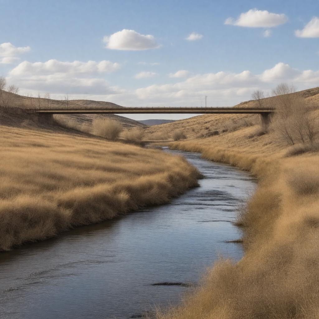
Cheyenne River, South Dakota
GPTKB entity

AI-created image
Statements (20)
| Predicate | Object |
|---|---|
| gptkbp:instanceOf |
gptkb:river
|
| gptkbp:basinSize |
24,240 square miles
|
| gptkbp:country |
gptkb:United_States
|
| gptkbp:flowsThrough |
gptkb:Dewey_County
gptkb:Ziebach_County gptkb:Haakon_County gptkb:Meade_County gptkb:Pennington_County gptkb:Stanley_County |
| gptkbp:hasBridge |
gptkb:SD_Highway_34_Bridge
gptkb:US_Highway_212_Bridge |
| gptkbp:length |
295 miles
|
| gptkbp:locatedIn |
gptkb:South_Dakota
|
| gptkbp:mouthLocation |
gptkb:Lake_Oahe
|
| gptkbp:namedAfter |
gptkb:Cheyenne_people
|
| gptkbp:sourceLocation |
Confluence of North Fork Cheyenne River and South Fork Cheyenne River
|
| gptkbp:tributaryOf |
gptkb:Missouri_River
|
| gptkbp:bfsParent |
gptkb:Belle_Fourche_River
|
| gptkbp:bfsLayer |
5
|
| http://www.w3.org/2000/01/rdf-schema#label |
Cheyenne River, South Dakota
|