Prompt
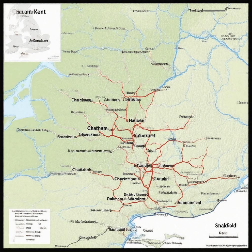
"Generate an image of a map of the Chatham and Aylesford parliamentary constituency in Kent, South East England, highlighting the main towns of Chatham, Aylesford, Snodland, and Larkfield, with a subtle background representing the region's connection to the United Kingdom and the Parliament of the United Kingdom."

