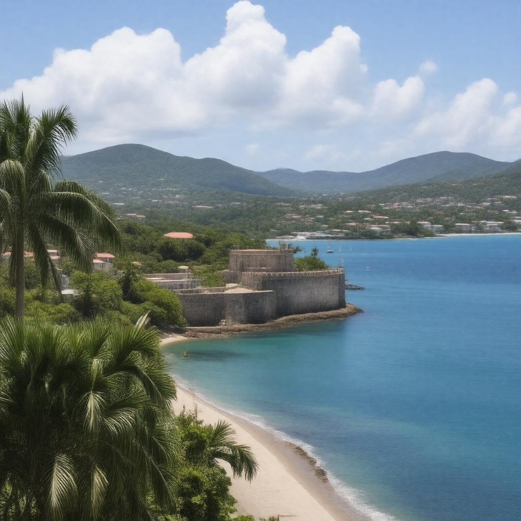
gptkbp:instance_of
|
gptkb:City
gptkb:town
|
gptkbp:area
|
approximately 32 square miles
32.5 square kilometers
|
gptkbp:average_rainfall
|
approximately 40 inches
|
gptkbp:average_temperature
|
around 80° F
|
gptkbp:capital
|
gptkb:U._S._Virgin_Islands
|
gptkbp:climate
|
tropical rainforest climate
|
gptkbp:cultural_attraction
|
gptkb:Emancipation_Park
gptkb:Blackbeard's_Castle
gptkb:St._Thomas_Synagogue
gptkb:Fort_Christian
gptkb:Magens_Bay
|
gptkbp:cultural_events
|
art exhibitions
|
gptkbp:cultural_influence
|
Danish colonial history
|
gptkbp:economic_activity
|
gptkb:real_estate
agriculture
fishing
duty-free shopping
cruise ship tourism
|
gptkbp:economic_sector
|
gptkb:tourism
gptkb:trade
|
gptkbp:education_institution
|
primary and secondary schools
|
gptkbp:events
|
gptkb:St._Thomas_International_Regatta
gptkb:carnival
gptkb:Festival_of_Lights
Christmas Festival
Food and Wine Festival
|
gptkbp:features
|
historic architecture
|
gptkbp:founded
|
1666
1718
|
gptkbp:geographical_feature
|
gptkb:harbor
|
gptkbp:governed_by
|
gptkb:local_government
|
gptkbp:has_economy_based_on
|
gptkb:tourism
retail and services
|
gptkbp:has_festival
|
gptkb:carnival
|
gptkbp:has_historical_building
|
gptkb:House_of_Commons
|
gptkbp:has_historical_significance
|
as a colonial port
|
gptkbp:has_landmark
|
gptkb:Blackbeard's_Castle
gptkb:Fort_Christian
gptkb:Emancipation_Garden
Skytsborg Historical Site
|
gptkbp:has_public_transport
|
gptkb:buses
|
gptkbp:historical_event
|
Danish West India Company establishment
U. S. acquisition in 1917
|
gptkbp:historical_significance
|
former Danish colonial capital
|
gptkbp:home_port
|
gptkb:Charlotte_Amalie_Harbor
|
https://www.w3.org/2000/01/rdf-schema#label
|
Charlotte Amalie
|
gptkbp:is_connected_to
|
ferry services
St. Thomas Airport
mainland U. S. by air
|
gptkbp:is_home_to
|
gptkb:University_of_the_Virgin_Islands
local artisans
various museums
various churches
|
gptkbp:is_known_for
|
cultural festivals
local cuisine
historical forts
nightlife
duty-free shopping
|
gptkbp:is_located_at
|
18.3419° N, 64.9333° W
|
gptkbp:is_part_of
|
gptkb:Saint_Thomas_Island
gptkb:region
gptkb:U._S._Virgin_Islands_National_Park
Saint Thomas District
|
gptkbp:is_popular_for
|
water sports
|
gptkbp:is_visited_by
|
tourists from around the world
|
gptkbp:language
|
English
|
gptkbp:located_in
|
gptkb:U._S._Virgin_Islands
|
gptkbp:named_after
|
gptkb:Charlotte_Amalie_of_Denmark
|
gptkbp:notable_person
|
gptkb:Bobby_Rydell
gptkb:Alexander_Hamilton
gptkb:Ruth_Bader_Ginsburg
gptkb:Eric_Clapton
gptkb:P._J._O'_Rourke
|
gptkbp:population
|
approximately 18,000
|
gptkbp:recreation
|
beaches
|
gptkbp:religion
|
gptkb:Christianity
|
gptkbp:serves_as
|
cruise ship port
|
gptkbp:sports_facilities
|
parks and fields
|
gptkbp:sports_team
|
gptkb:Charlotte_Amalie_High_School_Hurricanes
|
gptkbp:time_zone
|
Atlantic Standard Time
|
gptkbp:transportation
|
gptkb:Cyril_E._King_Airport
|
gptkbp:bfsParent
|
gptkb:U._S._Virgin_Islands
gptkb:British_Virgin_Islands
gptkb:Tiffany_&_Co.
|
gptkbp:bfsLayer
|
4
|