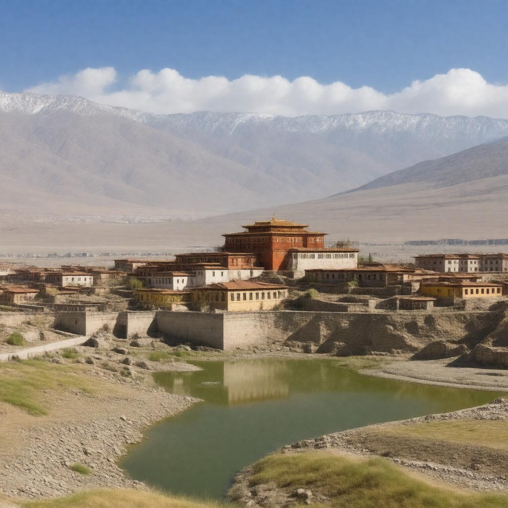
AI-created image
Statements (28)
| Predicate | Object |
|---|---|
| gptkbp:instanceOf |
gptkb:city
|
| gptkbp:administrativeDivision |
gptkb:Chamdo_Prefecture
|
| gptkbp:areaCode |
0895
|
| gptkbp:climate |
subarctic climate
|
| gptkbp:country |
gptkb:China
|
| gptkbp:elevation |
3240 meters
|
| gptkbp:ethnicGroup |
gptkb:Han_Chinese
gptkb:Tibetan gptkb:Naxi gptkb:Lhoba |
| gptkbp:governingBody |
gptkb:Chamdo_Municipal_Government
|
| gptkbp:historicalName |
gptkb:Qamdo
|
| gptkbp:latitude |
31.1406° N
|
| gptkbp:locatedIn |
gptkb:Tibet_Autonomous_Region
|
| gptkbp:longitude |
97.1771° E
|
| gptkbp:notableLandmark |
gptkb:Jampaling_Monastery
gptkb:Karub_Ruins |
| gptkbp:officialLanguage |
gptkb:Chinese
gptkb:Tibetan |
| gptkbp:population |
approximately 87,000 (as of 2020)
|
| gptkbp:postalCode |
854000
|
| gptkbp:region |
gptkb:eastern_Tibet
|
| gptkbp:river |
confluence of the Mekong and the Yangtze Rivers
|
| gptkbp:timezone |
gptkb:China_Standard_Time
|
| gptkbp:transportation |
gptkb:Chamdo_Bangda_Airport
|
| gptkbp:bfsParent |
gptkb:Tibet
|
| gptkbp:bfsLayer |
5
|
| http://www.w3.org/2000/01/rdf-schema#label |
Chamdo
|